
What is recorded here
Located at the SE end of a low rise with rock outcrop. It is in a low-lying landscape with a small SE-NW stream that runs into Shantonagh Lough c. 2km to the NW just 25m to the E. This is a subrectangular grass-covered area (dims 15.3m N-S at W to 19.8m N-S at E; 12.6m E-W) defined by earthen banks (at N: Wth 1.6m; H c. 0.1-0.3m) with a small rectangular platform (dims c. 6m N-S; 4.5m E-W) projecting E at the S end of the E bank, probably the result of the ancient levelling of the bank here. The bank at S (Wth 2.4m; int. H 0.3m; ext. H 0.4m) was incorporated in a field bank that extended W to meet a WNW-ESE field bank that is marked on the 1907 edition of the OS 6-inch map. There is a style entrance (Wth c. 0.7m) at the S end of the W bank consisting of two stones set transversely with an upright stone between them. It is probably a late medieval or post-medieval settlement.
The above description is derived from the published 'Archaeological Inventory of County Monaghan' (Dublin: Stationery Office, 1986). In certain instances the entries have been revised and updated in the light of recent research.
Revised by: Michael Moore
Date of revision: 31 January 2018
The monument record does not grant public access. Check the route and ask the landowner before entering private land.
- What survives
- Recorded monument
Places near here
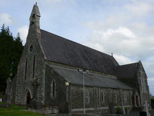 Saint Michael's Catholic Churchchurch/chapel · 1.0 mi
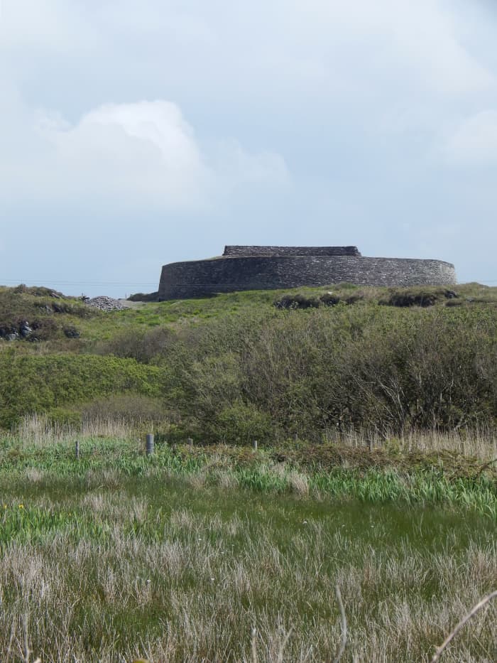 Fairy fort / stone ringfort in Bocks LowerFairy fort / stone ringfort · 1.0 mi
 IndicatedCrannog · 1.2 mi
 Tally WoodWood · 1.3 mi
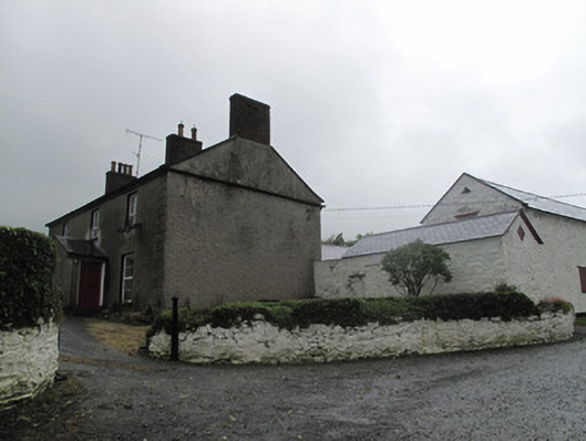 Farm Hillfarmyard complex · 1.7 mi
 Rock IslandIslet · 2.8 mi
 Gully IslandIslet · 2.9 mi
 RaferaghMountain / peak · 3.0 mi
 Sillan LakeshoreWood · 3.7 mi
 CarrickcreenyMountain / peak · 3.7 mi
 Bawn in LisdrumskeaBawn · 3.7 mi
 TobernagalliaghSpring · 4.0 mi
Other information
Photo: Credit not shown in the picture search · Rights wording not checked; contact us if this picture should be removed