
What is recorded here
Situated in rough pasture on a SE facing slope. An aerial photograph taken in 1971 (FSI 2.283/4) shows a circular earthwork. It appears to be enclosed by a fosse (diam c. 25m). The field boundary in the NE curves to respect it. There are no visible remains at ground level.
This remains an important historical record, but the official description says the monument is no longer visible or has been destroyed. The monument record does not grant public access. Check the route and ask the landowner before entering private land.
- What survives
- No visible remains or recorded as destroyed
Places near here
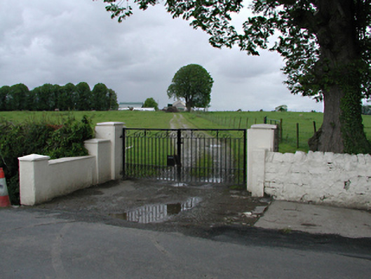 Westmanstown Housefarm house · 627 yd
 Ring-ditch in KeelogesRing-ditch · 653 yd
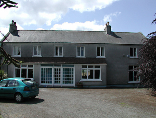 Ballynakelly Housefarm house · 835 yd
 Fulacht fia in Ballynakelly,commons LittleFulacht fia · 955 yd
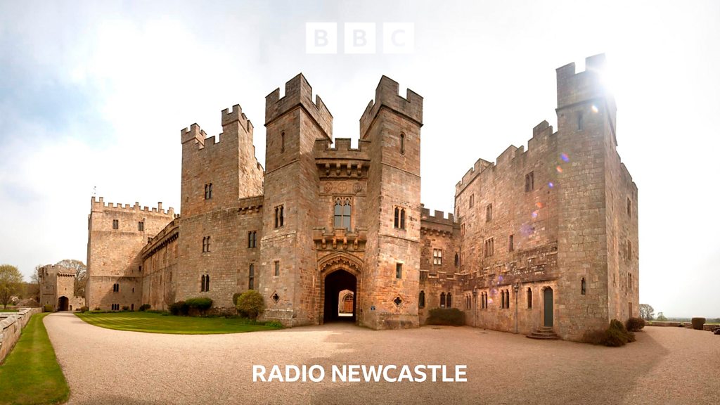 CastleCastle, tower house · 1023 yd
 European YewEuropean Yew · 1196 yd
 IndicatedCastle, motte · 1321 yd
 Saint Finian's WellSpring · 1.0 mi
 Grand Canal WayWalking route · 1.0 mi
 Athgoe HillMountain / peak · 1.5 mi
 Inniscara GalleryGallery · 1.8 mi
 Meadow WildlifeVisitor information · 2.0 mi
Other information
Photo: Credit not shown in the picture search · Rights wording not checked; contact us if this picture should be removed