What is recorded here
Raised oval area (int. dims. c. 21m E-W; c. 18m N-S) enclosed by a shallow fosse and low scarp with remains of a low bank of earth and stone on its upper edge. There is also a subcircular outer enclosing element consisting of a bank set on a scarp with shallow external fosse. From NE-SE four linear banks of earth and stone connect the inner and outer enclosing elements.
From the National Monuments Service (Archaeological Survey of Ireland) record CV028-006
The monument record does not grant public access. Check the route and ask the landowner before entering private land.
- What survives
- Recorded monument
Places near here
IndicatedFairy fort / earthen ringfort · 1232 ydIndicatedFairy fort / earthen ringfort · 1387 yd post box1712 ydBailieborough CastleCastle, unclassified · 1.3 miBrothers GravesVisitor information · 1.4 miCastle Lake ForestForest · 1.4 miIn Memory of Patrick KiernanMemorial · 1.5 miRebel HillMemorial · 1.6 miSkeagh Wet WoodlandWood · 1.7 miDrumacarrowMountain / peak · 1.7 miBailieborough CastleDemesne walls/gates/railings · 1.8 miWelcome to Bailieborough DemesneVisitor information · 1.9 mi
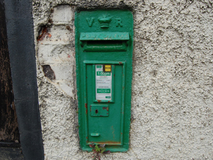 post box1712 ydBailieborough CastleCastle, unclassified · 1.3 mi
 Brothers GravesVisitor information · 1.4 miCastle Lake ForestForest · 1.4 miIn Memory of Patrick KiernanMemorial · 1.5 miRebel HillMemorial · 1.6 miSkeagh Wet WoodlandWood · 1.7 miDrumacarrowMountain / peak · 1.7 mi
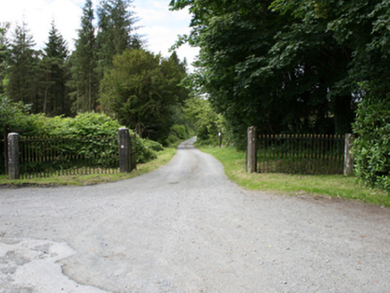 Bailieborough CastleDemesne walls/gates/railings · 1.8 mi
 Welcome to Bailieborough DemesneVisitor information · 1.9 mi
Pictures: National Inventory of Architectural Heritage; Oliver Dixon, Geograph · CC BY-SA 2.0
More archaeology and monuments in County Cavan · All of County Cavan
What do you know about this place?