
What is recorded here
In lowlying, wettish pasture, located on an elevation 10m NW of Brusna River. Very good views. Not shown on the 1837-8 OS 6-inch map, but shown on the 1922 edition as a hachured penannular area, open to SW. This appears to be a natural rise which has been modified to create an enclosure. It is evident as a large,…
Read the whole record
From the National Monuments Service (Archaeological Survey of Ireland) record MA031-036
Places near here
Photo credits
- Maker not stated on source page, commons.wikimedia.org
- Maker not stated on source page, www.pinterest.com
- Maker not stated on source page, pl.pinterest.com
- Golfing in Ireland; photographer not stated, Source publisher
- Maker not stated on source page, www.dreamstime.com
- National Inventory of Architectural Heritage
- Maker not stated on source page, www.granddesignsmagazine.com
- Kmcnamee, Wikimedia Commons · CC BY-SA 4.0
- Maker not stated on source page, sociable.co
- Maker not stated on source page, en.wikipedia.org
- Maker not stated on source page, www.stefanschnebelt.com
- Maker not stated on source page, no.pinterest.com
 Megalithic tomb in Corimla SouthMegalithic tomb · 1337 yd
Explorer Tom Megalithic tomb in Corimla South has an imaginary twin across the sea that it argues with every night about whose…
 Passage tomb in Carrowreagh (gallen By., Kilgarvan Par.)Passage tomb · 1.4 mi
Explorer Tom Passage tomb in Carrowreagh is hiding in plain sight near that stream, and I reckon it would tell its younger self to…
 Court tomb in BallyholanCourt tomb · 1.4 mi
Explorer Tom Court tomb in Ballyholan is writing a dating profile that says 'stone, stable, non-stick'. It wants someone who…
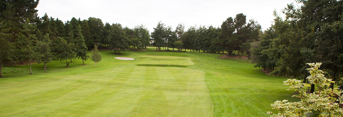 Ballina Golf ClubGolf course · 2.1 mi
 Stone row in CarrowcromStone row · 2.2 mi
Explorer Tom Stone row in Carrowcrom has three stones that look absolutely miserable about their New Year's resolution to stay…
 Quignamanger National SchoolSchool · 2.2 mi
Explorer Tom Quignamanger National School in County Mayo is a rural school building that has survived the ages with its original…
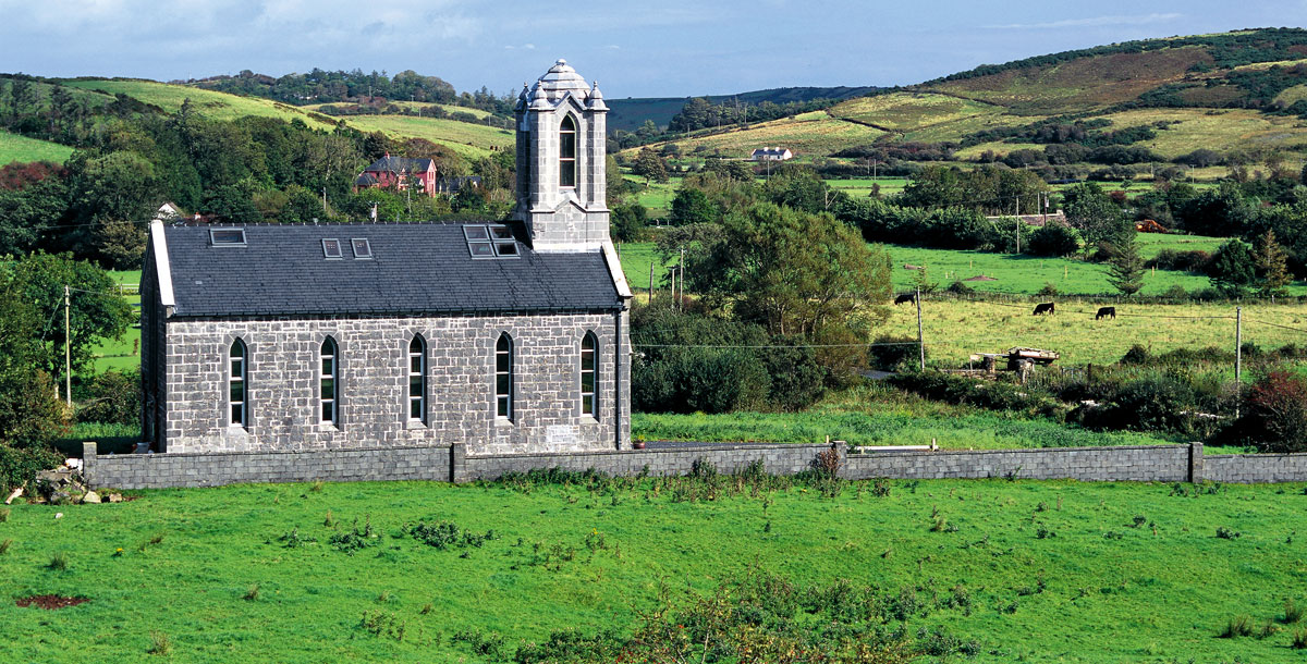 Church in Ardnaree or ShanaghyChurch · 2.3 mi
Explorer Tom Church in Ardnaree Or Shanaghy is the subject of a made-up local legend about a giant who hid his keys inside the walls…
 Sean Duffy Park, Ardnaree SarsfieldsGAA ground · 2.3 mi
 Bonniconlon CemeteryCemetery · 2.7 mi
Explorer Tom Bonniconlon Cemetery is in a screaming match with the nearest tree, accusing it of stealing all the sunlight and…
 ODowds CastleHouse, fortified house · 3.8 mi
Explorer Tom ODowds Castle in Cottlestown is a fortified house where the wind keeps picking on the walls because they look too smug.…
 O' Dowds CastleCastle · 3.8 mi
Explorer Tom O' Dowds Castle in County Sligo is having a bitter rivalry with a more famous castle down the road, claiming it was…
 Killeen New CemeteryCemetery · 4.9 mi
Explorer Tom Killeen New Cemetery is clearly run by a very serious dog who believes he is the king of all things buried and…
More archaeology and monuments in County Mayo · All of County Mayo

What do you know about this place?Tap to add a comment or ask a question