
Places near here
Photo credits
- Newbert12, Wikimedia Commons · CC BY-SA 4.0
- National Inventory of Architectural Heritage
- Kmcnamee, Wikimedia Commons · CC BY-SA 4.0
- Golfing in Ireland; photographer not stated, Source publisher
- Discover Ireland; photographer not stated, Discover Ireland
- David Farrell Photography / Western People, www.westernpeople.ie
- Castleconnor GAA Club drone footage; individual camera operator not stated, castleconnor.sligo.gaa.ie
- Knockmore GAA Club via Smart Lotto; individual photographer not stated, smartlotto.ie
- Mick Garratt, commons.wikimedia.org
 Wedge tomb in CarrowcromWedge tomb · 1093 yd
Explorer Tom Wedge tomb in Carrowcrom is named after lovers but looks more like a bed where nobody wants to sleep. It’s got a name…
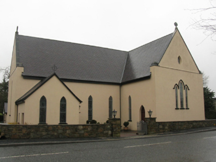 Catholic Church of the Immaculate Heart of MaryChurch/chapel · 1.6 mi
Explorer Tom Catholic Church of the Immaculate Heart of Mary is built on a legend about a giant who got stuck in the roof. It was…
 Bonniconlon, Bonniconlon GAAGAA ground · 1.6 mi
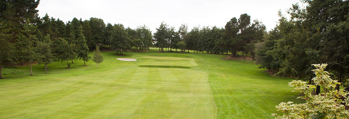 Ballina Golf ClubGolf course · 3.2 mi
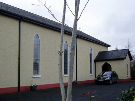 Catholic Church of the Immaculate Conception and Saint JosephChurch/chapel · 3.3 mi
Explorer Tom This Kilgellia church has a strong opinion about the road leading to it; it thinks you should walk more to humble…
 Father Peyton CentreVisitor attraction · 3.4 mi
Explorer Tom The Father Peyton Centre in Attymass tells how a boy from the Mayo countryside became a priest whose family prayer…
Sean Duffy Park, Ardnaree SarsfieldsGAA ground · 3.6 mi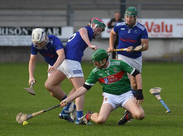 James Stephens Park, James Stephens Hurling ClubGAA ground · 4.3 mi
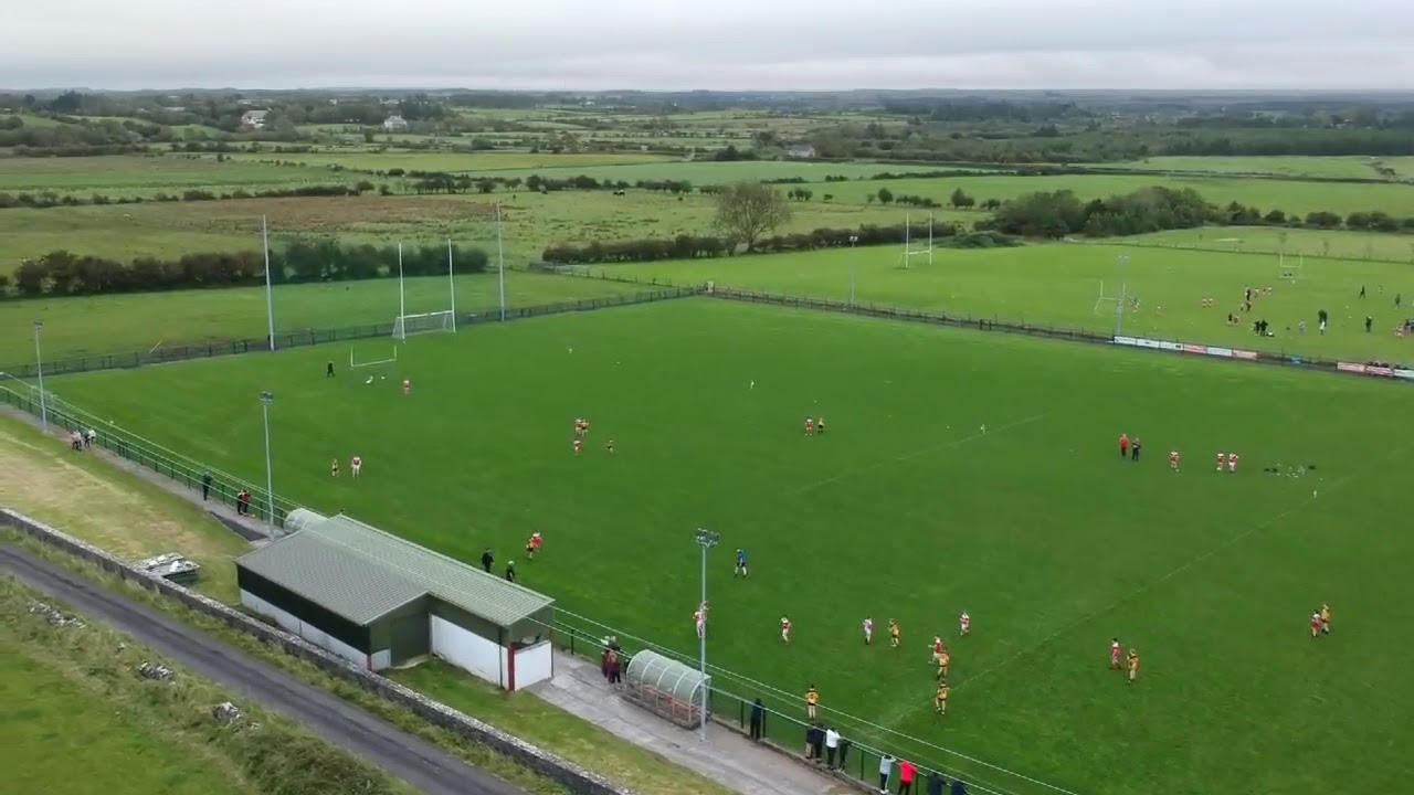 St. Brendan's Park, Castleconnor GAAGAA ground · 4.9 mi
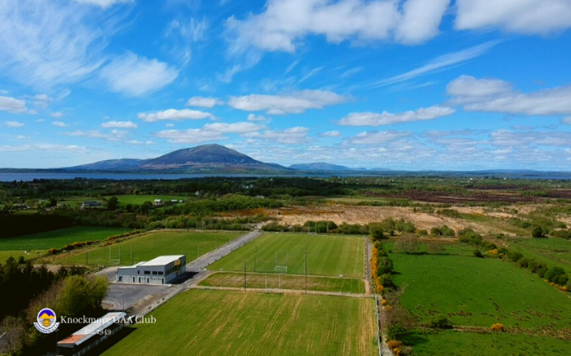 Knockmore, Knockmore GAAGAA ground · 6.9 mi
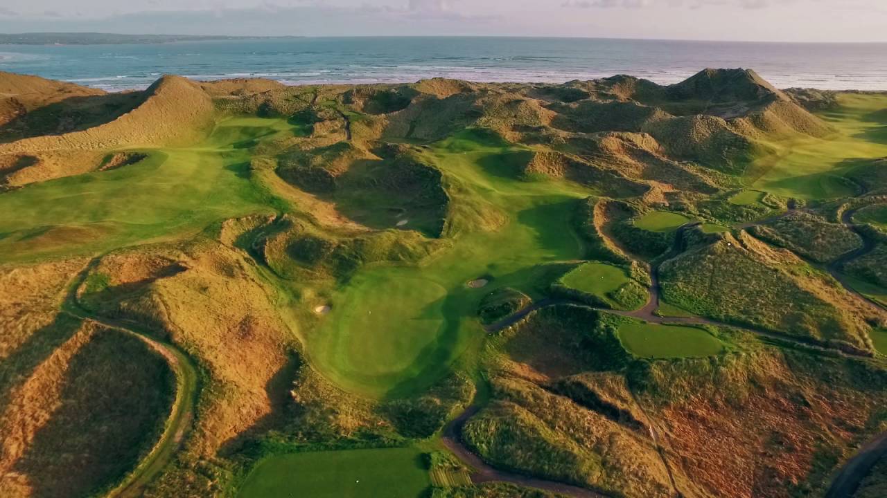 Enniscrone Golf ClubGolf course · 7.9 mi
 Enniscrone/Kilglass GAA pitchGAA ground · 9.8 mi
More archaeology and monuments in County Mayo · All of County Mayo

What do you know about this place?Tap to add a comment or ask a question