
What is recorded here
In rough pasture, on bog, on a S-facing hillslope. Recorded in 1995 as a circular area (diam. 13m) defined by a stone wall (T 1.2m; H 0.5m) consisting of an inner and an outer row of upright slabs with an infill of smaller stones and clay (pers. comm. Connie Murphy). The entrance was indicated by two parallel slabs at E. A subsequent visit in 2005 failed to locate this enclosure and it was noted that some land reclamation work had taken place on the hillside.
The above description is derived from 'The Archaeological Inventory of County Cork. Volume 5' (Dublin: Stationery Office, 2009).
Date of upload: 22 December 2009
The monument record does not grant public access. Check the route and ask the landowner before entering private land.
- What survives
- Recorded monument
Places near here
 Field boundary in CarranField boundary · 1023 yd
 Enclosure in CarranEnclosure · 1085 yd
 Coomhola MountainMountain / peak · 1.0 mi
 Coomhola Salmon Trust (Streamscapes)Museum · 1.6 mi
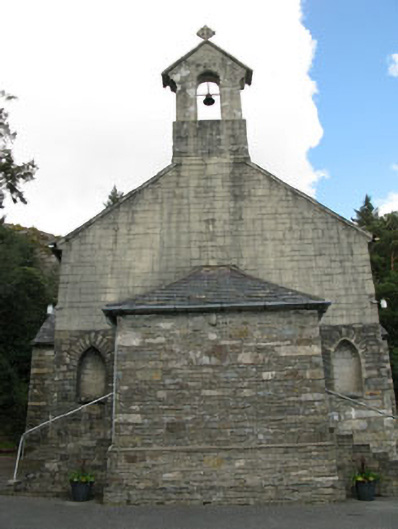 St. Joseph's Roman Catholic Churchchurch/chapel · 1.8 mi
 Rose Cottagehouse · 1.8 mi
 Bulls PocketMountain / peak · 1.9 mi
 Daly's LoopWalking route · 1.9 mi
 The Priests LeapViewpoint · 2.2 mi
 Snave StrandBeach / strand · 2.6 mi
 Carriganass CastleCastle · 2.8 mi
 Castle (in Ruins)House, fortified house · 3.2 mi
Other information
Photo: Credit not shown in the picture search · Rights wording not checked; contact us if this picture should be removed