What is recorded here
Situated in an area of rock outcrop in an upland area with extensive views. This small enclosure could not be located due to a dense cover of scrub. Vol. 1 - North Tipperary' compiled by Jean Farrelly and Caimin O'Brien (Dublin: Stationery Office, 2002).
From the National Monuments Service (Archaeological Survey of Ireland) record TN009-005
The monument record does not grant public access. Check the route and ask the landowner before entering private land.
- What survives
- Recorded monument
Places near here
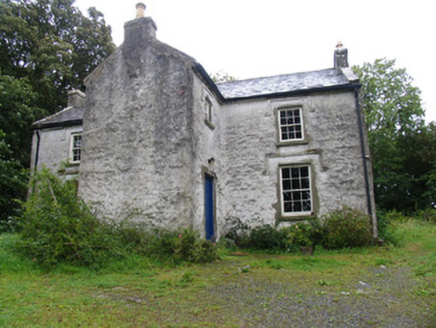 The BarracksRic barracks · 647 yd
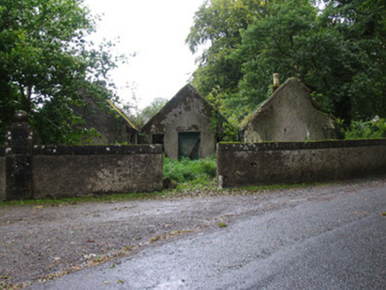 CastletownGate lodge · 715 ydKilbarron WellHoly well · 1368 ydGoose IslandIslet · 1.1 miCarrickboy WoodForest · 1.5 miGoat IslandIslet · 2.0 miKylenameely WoodWood · 3.0 mi
 Lough DergNationally known place · 3.1 miCoose BayBay · 3.7 mi
 Sheela-na-gig in BallyfinboySheela-na-gig · 4.3 mi
 Ballyfinboy Castle (in Ruins)Castle, tower house · 4.3 mi
 Dromineer CastleCastle · 4.3 mi
Pictures: National Inventory of Architectural Heritage; P L Chadwick, Geograph · CC BY-SA 2.0; Liffernet, Wikimedia Commons · CC BY-SA 4.0; dougf, Geograph · CC BY-SA 2.0; Mike Searle, Wikimedia Commons · CC BY-SA 2.0
More archaeology and monuments in County Tipperary · All of County Tipperary
What do you know about this place?