What is recorded here
Located at the crest of the NW-facing slope of a hill. This is a circular enclosure (diam. c. 55m) defined by a fosse that is only visible N-E-S on iMaps (2022). It is truncated by a N-S field bank at W and is not visible on the W side of this feature. The enclosure was first reported by Jean Charles Caillére.
See the attached enhanced view from iMAPs (2022)
Compiled by: Michael Moore
Date of upload: 6 June 2023
The monument record does not grant public access. Check the route and ask the landowner before entering private land.
- What survives
- Recorded monument
Places near here
 Enclosure in CooladineEnclosure · 225 yd
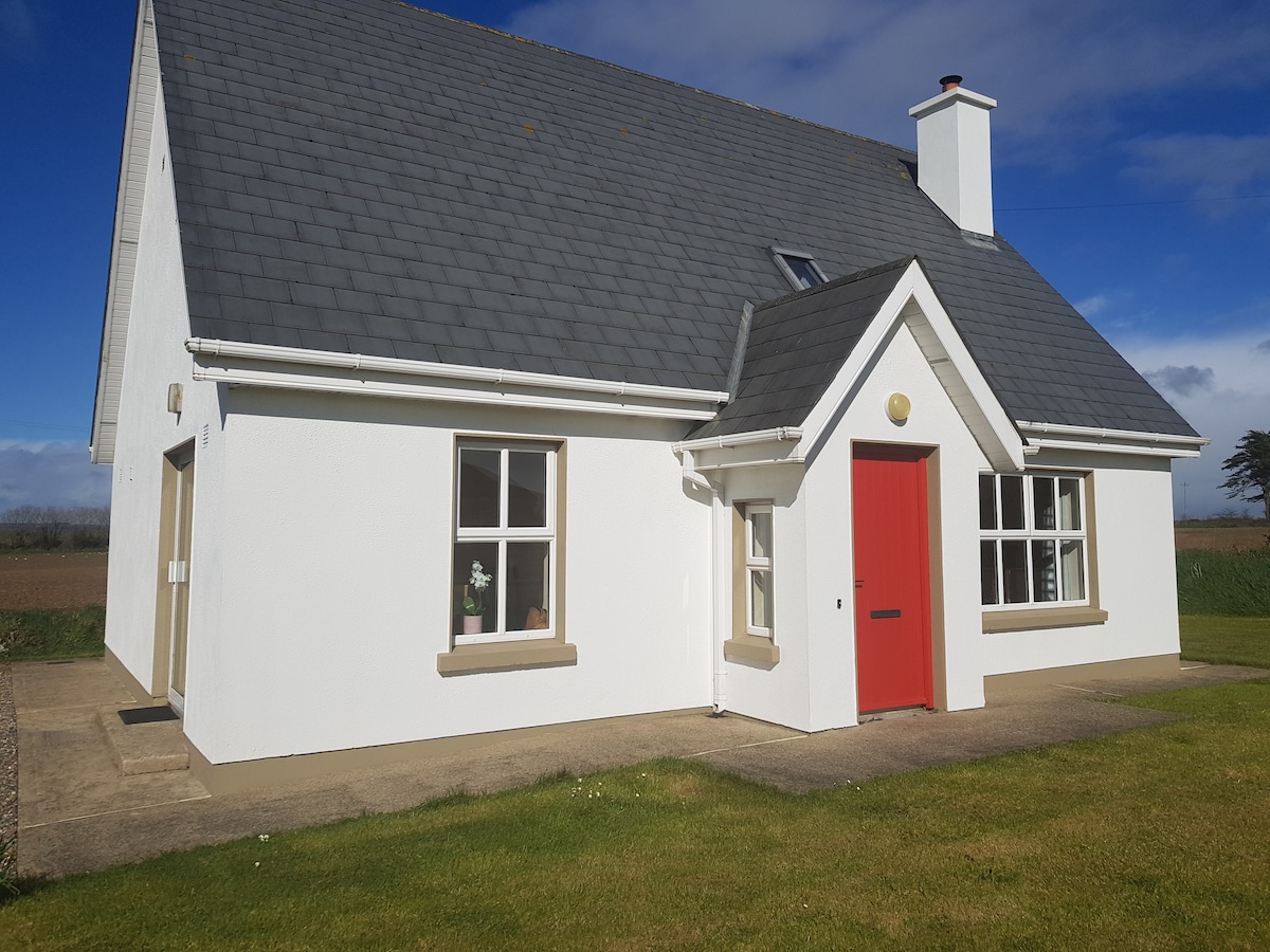 Hut site in CooladineHut site · 586 yd
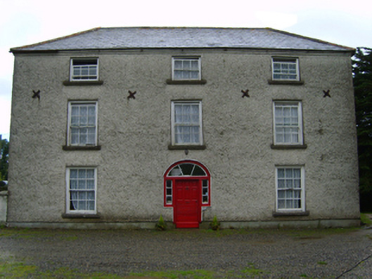 Cooladine Housefarm house · 861 yd
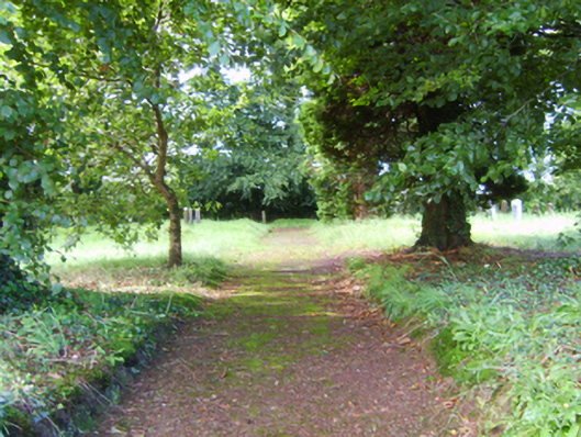 graveyard/cemeterygraveyard/cemetery · 1152 yd
 Vinegar HillMountain / peak · 1.9 mi
 Battle of Vinegar Hill, 1798Monument · 1.9 mi
 National 1798 CentreMuseum · 2.3 mi
 Black Castle (in ruins)Castle, tower house · 2.4 mi
 Battle of Vinegar HillMajor battlefield · 2.4 mi
 U.N. Peace MemorialMonument · 2.6 mi
 Duffry GateMemorial · 2.6 mi
 CastleCastle, ringwork · 2.9 mi