
What is recorded here
From the National Monuments Service (Archaeological Survey of Ireland) record CO064-001
Places near here
Photo credits
- National Inventory of Architectural Heritage
- Maker not stated on source page, www.dreamstime.com
- Maker not stated on source page, commons.wikimedia.org
- Maker not stated on source page, global-geography.org
- Hourihan (pitch contractor and image source; individual photographer not named), www.hourihan.ie
- The Echo; photographer not named in the article, www.echolive.ie
 Ballindeenisk HouseGate lodge · 893 yd
Explorer Tom Ballindeenisk House gate lodge has a favourite song which is 'Who Let the Dogs Out' because it’s loud and chaotic. It’s…
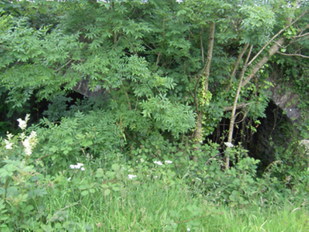 Annacarton BridgeBridge · 898 yd
Explorer Tom Annacarton Bridge in Crushyriree has skilled stonework that makes it look like it was carved by a very proud…
 kiln1063 yd
Explorer Tom Kiln in Trantstown is a lime kiln reminding us of industrial days. Two lads once bet on who could light it fastest, and…
 farm house1073 yd
Explorer Tom Farm house in Ballinvinny North has a ghost living upstairs who is too lazy to actually haunt anyone because the stairs…
 Fairy fort / earthen ringfort in Ballindeenisk (barrymore By.)Fairy fort / earthen ringfort · 1239 yd
Explorer Tom Fairy fort / earthen ringfort in Ballindeenisk claims a local invented it by mistake while digging a potato hole, which…
 Church (Site of)Church · 1.3 mi
Explorer Tom Church in Kilrussane would describe itself as a very modest dot on a map, but it really wants to be a famous painting…
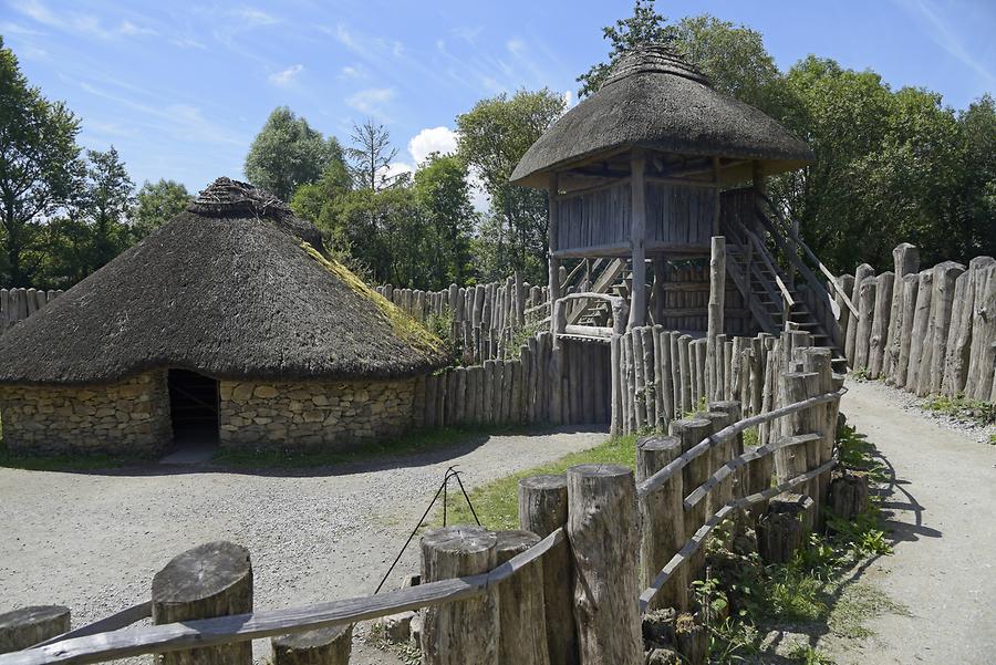 Fairy fort / earthen ringfort in Ballythomas (barrymore By.)Fairy fort / earthen ringfort · 1.4 mi
Explorer Tom Fairy fort / earthen ringfort in Ballythomas was levelled in 1973, but locals say black earth appears after ploughing…
 Standing stone in Ballinlegane (barrymore By.)Standing stone · 1.4 mi
Explorer Tom A tiny standing stone in Ballinlegane says it has great leadership skills in a job interview, but nobody can find its…
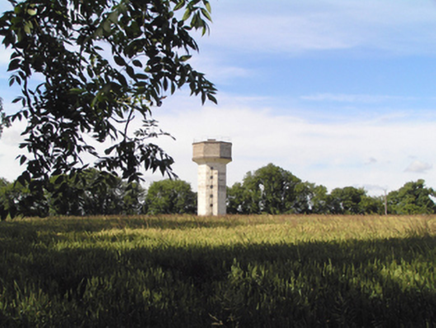 Saint Stephen's HospitalWater tower · 2.0 mi
Explorer Tom Saint Stephen's Hospital water tower is a 1954 concrete hexagon that looks like it fell out of a sci-fi movie. It was…
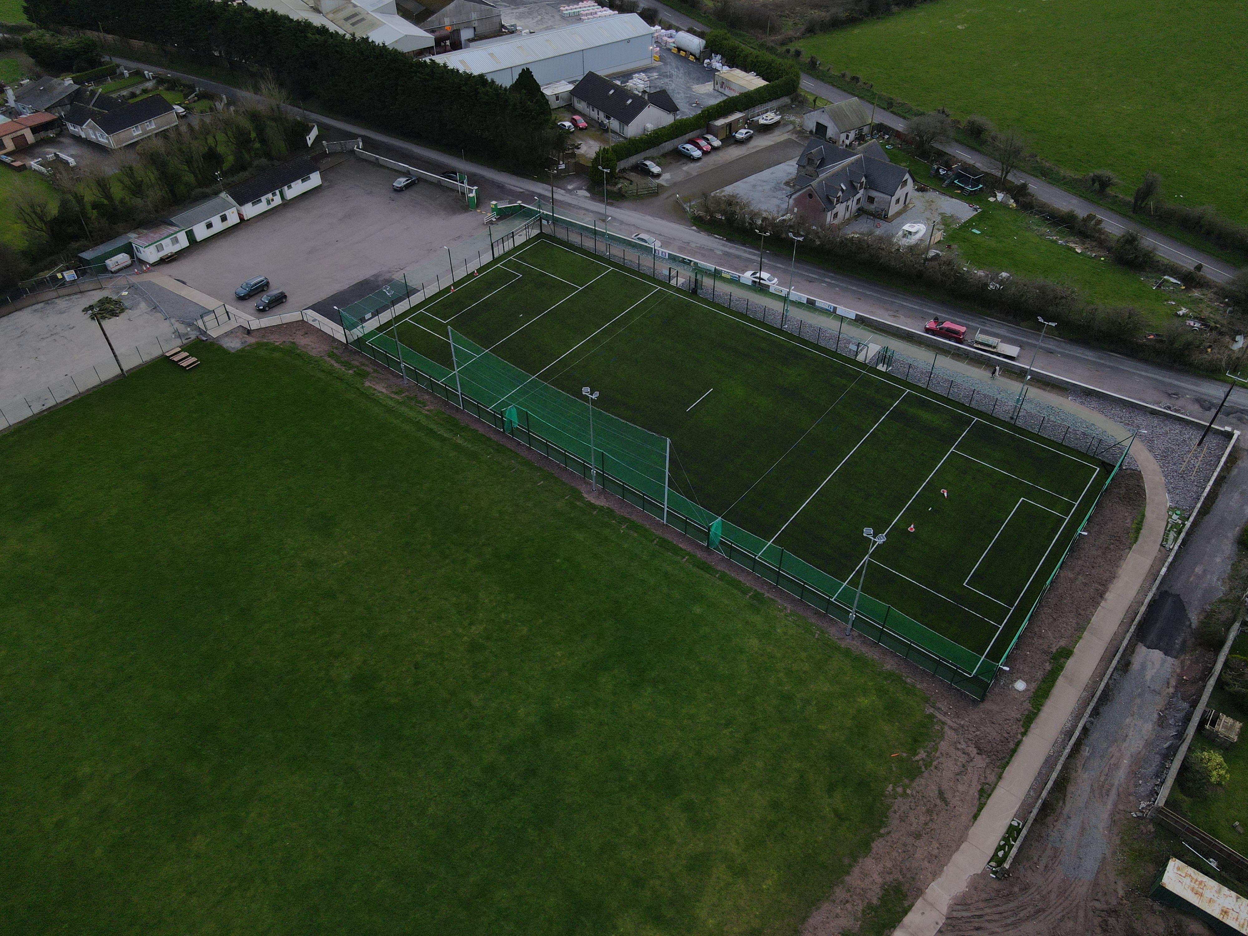 White's Cross GAA pitchGAA ground · 3.0 mi
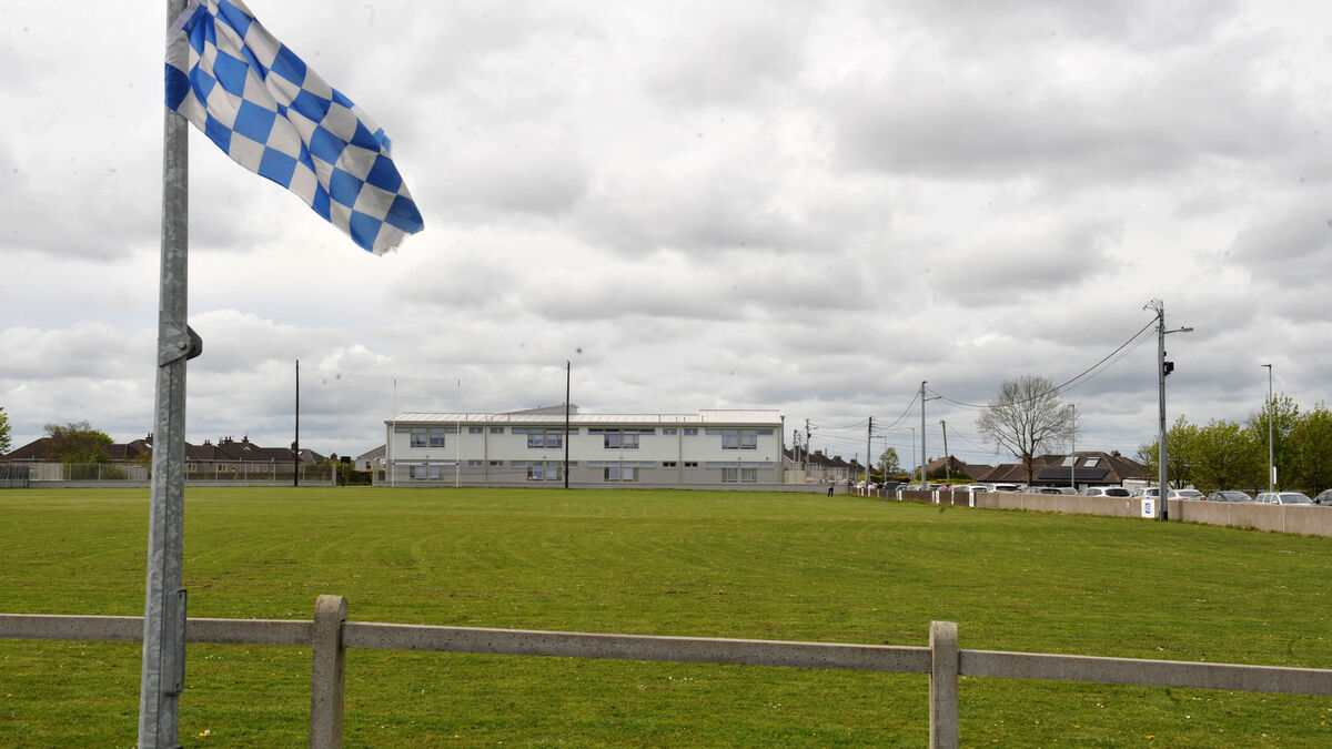 Tank Field, Brian DillonsGAA ground · 3.7 mi
 Saint Catherine's CemeteryCemetery · 4.8 mi
Explorer Tom Saint Catherine's Cemetery is waiting for you to judge its tombstone, which probably reads 'Died of Boredom' in big…
More archaeology and monuments in County Cork · All of County Cork

What do you know about this place?Tap to add a comment or ask a question