
What is recorded here
From the National Monuments Service (Archaeological Survey of Ireland) record KD032-090
Places near here
Photo credits
- Maker not stated on source page, commons.wikimedia.org
- Maker not stated on source page, au.pinterest.com
- Maker not stated on source page, curiousireland.ie
- Maker not stated on source page, www.irishcentral.com
- Maker not stated on source page, www.tracesofwar.com
- Maker not stated on source page, www.pinterest.com
- National Inventory of Architectural Heritage
- Maker not stated on source page, www.flickr.com
- Maker not stated on source page, tuscanfoundry.com
- Maker not stated on source page, ru.pinterest.com
 Earthwork in ColbinstownEarthwork · 287 yd
Explorer Tom Earthwork in Colbinstown is a square-shaped lump that used to be a castle but now just looks like a very confused…
 CastleCastle, unclassified · 298 yd
Explorer Tom Castle at Colbinstown would write 'likes long walks and short answers' on its dating profile. It’s basically a grassy…
 Pillar stone in ColbinstownPillar stone · 300 yd
Explorer Tom Pillar stone in Colbinstown started because two lads bet on who could find the weirdest rock. It’s tapering and flaking…
 Ogham stone in ColbinstownOgham stone · 315 yd
Explorer Tom Ogham stone in Colbinstown holds a fake record for 'Most Lichen Removed With Acid'. It survived the cleaning, which is…
 Killeencormack GraveyardBurial ground · 320 yd
Explorer Tom Killeencormack Graveyard is surrounded by a modern wall because it needed some boundaries. Imagine a zombie attack: the…
 Ogham stone340 yd
Explorer Tom Ogham stone in Colbinstown is playing linguistic games because it’s supposedly bilingual but the Latin doesn't actually…
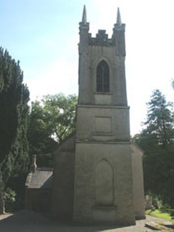 Church of the Ascension (Ballynure)Church/chapel · 1353 yd
Explorer Tom Church of the Ascension (Ballynure) was supposedly invented by a local farmer who got drunk on one bad harvest. It’s an…
 Church in BallynureChurch · 1355 yd
Explorer Tom Church in Ballynure thinks Dublin tourists are just noisy pigeons who haven’t learned how to stand still for more than…
 Fairy fort / earthen ringfort in Grangecon RocksFairy fort / earthen ringfort · 1.1 mi
Explorer Tom Fairy fort / earthen ringfort in Grangecon Rocks is proud of its bank because it managed to survive the undulating…
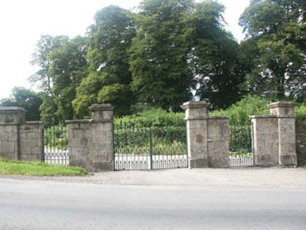 Grangecon HouseGates/railings/walls · 1.3 mi
Explorer Tom Grangecon House’s gate screen is deeply suspicious of the postman because he once delivered a bill for a horse that…
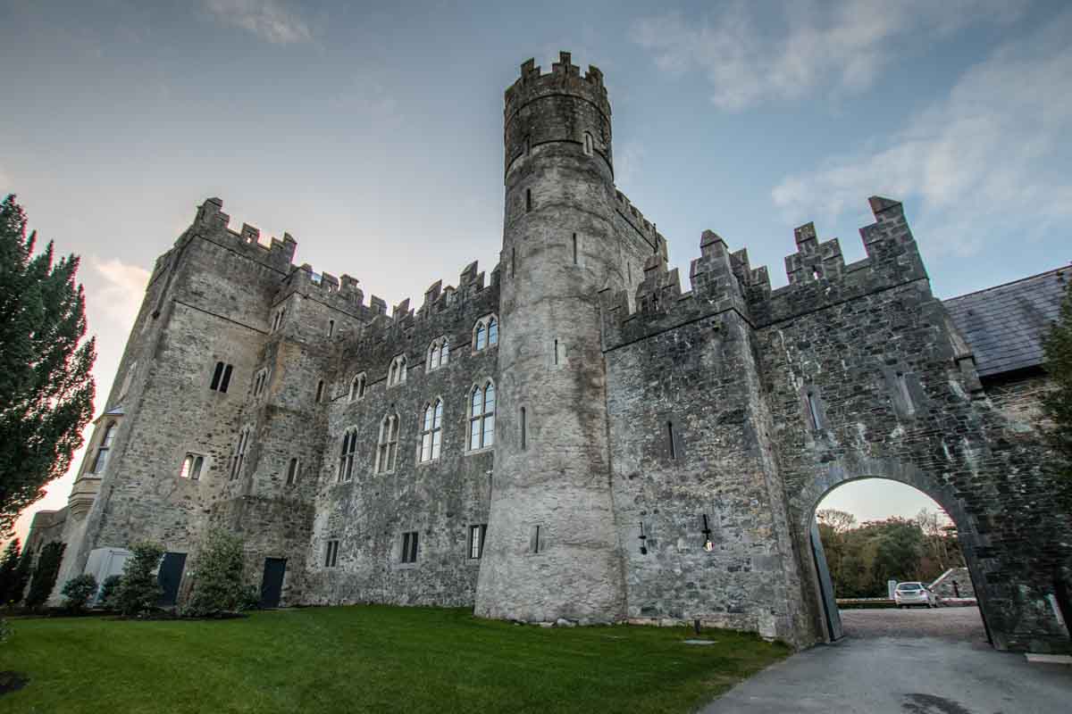 Blackrath CastleCastle, unclassified · 1.5 mi
Explorer Tom Blackrath Castle was refused entry by a bishop who thought it was too small for his ego. It’s been leased out to…
 Mapped graveyardGraveyard · 1.9 mi
Explorer Tom The mother-in-law who designed this mapped graveyard in Kildare made sure every single path was slightly too narrow for…
More archaeology and monuments in County Kildare · All of County Kildare

What do you know about this place?Tap to add a comment or ask a question