What is recorded here
This record is based on a description in Knox (1911, p. 211) of ‘An oblong rectangular enclosure, used for haggards. The enclosing bank may be ancient; a skeleton [MA103-048002-] was found in it and re-buried.'
The exact location of the enclosure is uncertain, but it is likely to be in either Hazelhill or Cloonbullig townland. Knox noted that there was a rath (MA103-007----) c. 100m to W (in Hazelhill townland), and that the remains of a small castle (MA103-047----) were nearby, and two mounds (MA103-046001-; MA103-046002-) rose out of a marshy area c. 100m to S (in Cloonbullig townland).
Compiled by: Jane O’Shaughnessy
Date of upload: 15 November 2022
The monument record does not grant public access. Check the route and ask the landowner before entering private land.
- What survives
- Recorded monument
Places near here
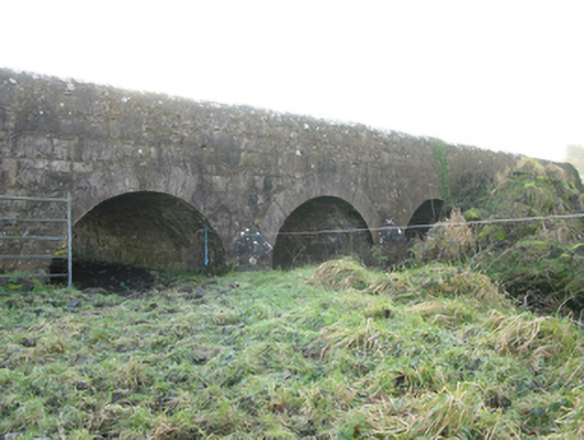 Agloragh Bridgebridge · 1298 yd
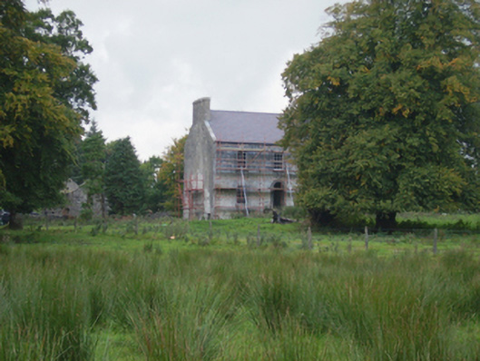 Holywell Housefarm house · 1324 yd
 Cross in Holywell LowerCross · 1421 yd
 Font in ChurchparkFont · 1701 yd
 IndicatedCastle, motte · 1.8 mi
 CastleCastle, unclassified · 3.5 mi
 Oak WoodForest · 8.8 mi
 Land of the GiantsHeritage attraction · 9.2 mi
 Geoffrey's WoodForest · 9.7 mi
 Mass RockNamed rock · 16 mi
 Church in RuinsChurch · 1755 yd
 St. Patricks StoneRitual site, holy/saint's stone · 1.1 mi