
What is recorded here
Outline of a circular-shaped enclosure (approx. diam. 44m) visible on Digital Globe aerial photograph.
See attached image taken from Digital Globe aerial coverage
Compiled by: Caimin O'Brien based on details kindly provided by Hugh Carey
Date of upload: 04 February 2019
A local fairy fort (ringfort/rath); wider significance not recorded.
The monument record does not grant public access. Check the route and ask the landowner before entering private land.
- What survives
- Recorded monument
Places near here
 IndicatedFairy fort / earthen ringfort · 111 yd
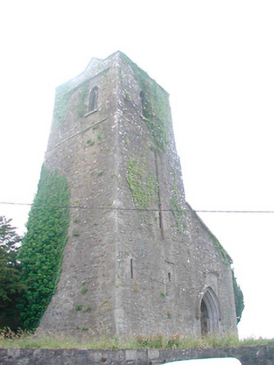 Saint Mary's Church (Castletowndelvin)church/chapel · 740 yd
 Bank of Irelandbank/financial institution · 808 yd
 CastleCastle, tower house · 811 yd
 Man-made underground passage in CastletowndelvinMan-made underground passage · 943 yd
 Martinstown Castle in RuinsCastle, tower house · 1.3 mi
 GinkgoGinkgo · 3.5 mi
 European YewEuropean Yew · 3.7 mi
 Slieve GullionMountain / peak · 6.9 mi
 Seafin HillMountain / peak · 7.1 mi
 Zip WireHeritage attraction · 9.0 mi
 LoughcrewMegalithic tomb cemetery · 9.4 mi
Other information
Photo: Credit not shown in the picture search · Rights wording not checked; contact us if this picture should be removed