What is recorded here
Situated on grassland. Outline of circular-shaped earthwork (dims. c. 65m N-S x 78m E-W) visible on Digital Globe aerial imagery. taken 2011-13.
See attached image from Google Earth orthoimages
Compiled by: Caimin O'Brien based on details provided by Jean-Charles Caillère
Date of upload: 7 April 2021
The monument record does not grant public access. Check the route and ask the landowner before entering private land.
- What survives
- Recorded monument
Places near here
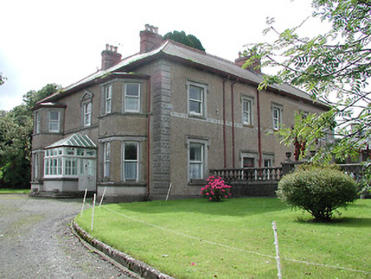 Skehanagh Househouse · 766 yd
 CastleCastle, ringwork · 1183 yd
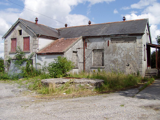 Killea Creamerycreamery · 1454 yd
 Killough Grave Yard (Disused)Ecclesiastical enclosure · 1643 yd
 St. Jamess WellHoly well · 1.2 mi
 College HillMountain / peak · 1.2 mi
 Longford WoodForest · 2.3 mi
 Kilduff MountainMountain / peak · 2.5 mi
 BatteryCastle, ringwork · 3.3 mi
 Morris's GroveForest · 3.8 mi
 Thomas MacDonagh Heritage CentreMuseum · 11 mi
 MacDonagh HouseMemorial · 11 mi