What is recorded here
Located at the S edge of a possible ecclesiastical enclosure (TN023-043001) in undulating, hillocky terrain on ground sloping generally to the S. There is a small cairn of stones (dims. 3.4m N-S; 4.1m E-W) near the field boundary at the S end of the ecclesiastical enclosure and the bullaun stone lies at the edge of this cairn. It consists of a sandstone boulder (dims. 1.2m x 0.9m x 0.5m H) with a central depression (diam. 0.4m; D 0.12-0.2m) on its upper surface. A small rolled stone (sandstone) (dims. 0.16m x 0.12m x 0.6m T) in the cairn material close to the bullaun may have been used as a grinding stone.
The above description is derived from 'The Archaeological Inventory of County Tipperary. Vol. 1 - North Tipperary' compiled by Jean Farrelly and Caimin O'Brien (Dublin: Stationery Office, 2002). In certain instances the entries have been revised and updated in the light of recent research.
Date of upload/revision: 22 September 2008
The monument record does not grant public access. Check the route and ask the landowner before entering private land.
- What survives
- Recorded monument
Places near here
 Killough Grave Yard (Disused)Ecclesiastical enclosure · 1 yd
 Fortescuecottage ornee · 359 yd
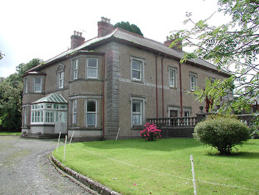 Skehanagh Househouse · 1265 yd
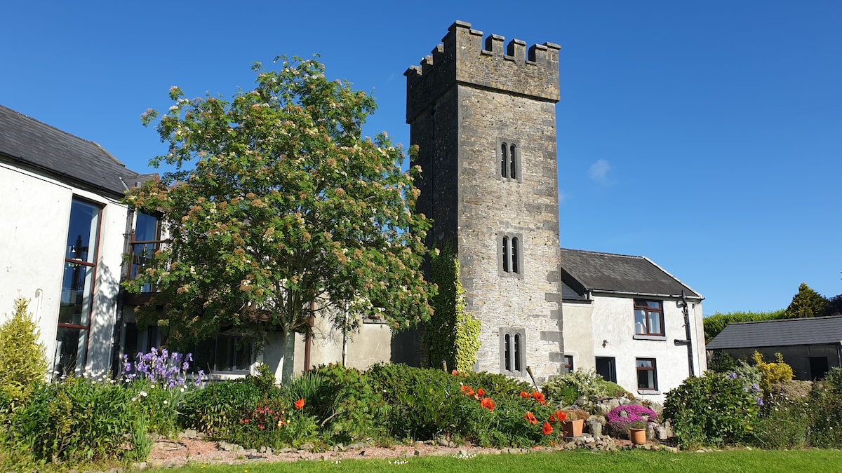 Enclosure in ClonakennyEnclosure · 1.1 mi
 CastleCastle, ringwork · 1.3 mi
 Castle (in ruins)House, fortified house · 1.4 mi
 College HillMountain / peak · 1.7 mi
 Longford WoodForest · 2.0 mi
 Kilduff MountainMountain / peak · 3.3 mi
 Morris's GroveForest · 4.5 mi
 Thomas MacDonagh Heritage CentreMuseum · 11 mi
 MacDonagh HouseMemorial · 11 mi