What is recorded here
Enclosure (int. diam. c. 29m) defined by a scarp (0.5m - 1m H). Badly degraded from N to NE and with slight evidence of a fosse E to S. Situated in low lying area.
In pasture with good views in all directions with nearby ringfort (OF011-021----) to the N. Circular raised platform (diam 34.5m; H 0.5m) defined by a scarp and enclosed by an inner fosse (Wth 2.5m; D 1m) with external bank visible at S only. The site is damaged at N where its external bank and inner fosse are totally levelled probably the result of agricultural activity.
The above description is derived from the published 'Archaeological Inventory of County Offaly' (Dublin: Stationery Office, 1997). In certain instances the entries have been revised and updated in the light of recent research.
Date of upload: 23 May 2011
The monument record does not grant public access. Check the route and ask the landowner before entering private land.
- What survives
- Recorded monument
Places near here
 StructureStructure, peatland · 1210 yd
 Enclosure in ClonmeenEnclosure · 1521 yd
 Rhode Bridgebridge · 1.2 mi
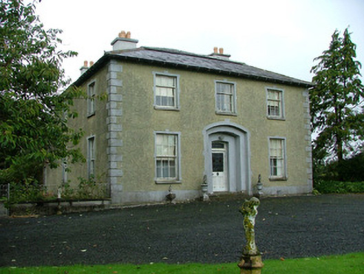 Ballinla Housefarm house · 1.3 mi
 Ballybrittan CastleCastle, tower house · 1.5 mi
 Victoria PlantationWood · 1.7 mi
 Holy PlantationForest · 1.8 mi
 Clonin EarthworksMountain / peak · 2.3 mi
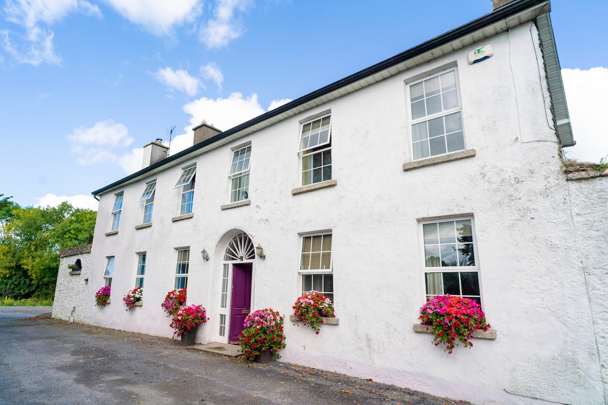 Ballyburly Ho.Castle, unclassified · 2.4 mi
 Mountlucas Wind Farm Visitors CentreVisitor information · 4.2 mi
 Moat HillMountain / peak · 4.2 mi
 Croghan Hill WalkVisitor information · 4.6 mi