What is recorded here
No surface remains, potential enclosure possible identified from aerial photographs (OS 9086/7).
From the National Monuments Service (Archaeological Survey of Ireland) record OF016-039002
The monument record does not grant public access. Check the route and ask the landowner before entering private land.
- What survives
- Recorded monument
Places near here
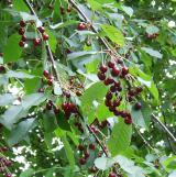 Wild Cherry819 ydArdnagross WellSpring · 910 ydSugar HillMountain / peak · 1067 yd
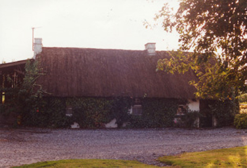 farm house1.1 miMound in Lynally GlebeMound · 1.2 mi
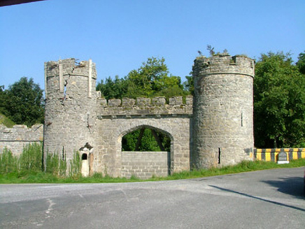 Charleville CastleGate lodge · 1.3 miIndicatedCastle, unclassified · 1.3 miEnclosure in Lynally GlebeEnclosure · 1.3 mi
 European Yew1.4 mi
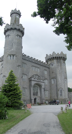 Charleville CastleCastle · 1.7 miChrist's WellSpring · 1.9 miSt O'Hara's HillMountain / peak · 2.0 mi
Pictures: MPF, Wikimedia Commons · CC BY 2.5; National Inventory of Architectural Heritage; Sitomon, Wikimedia Commons · CC BY-SA 2.0; User:Jgillett, Wikimedia Commons · Public domain
More archaeology and monuments in County Offaly · All of County Offaly
What do you know about this place?