What is recorded here
Not visible at ground level. Aerial photographs (CUCAP, ATC 61) shows well defined crop mark of circular enclosure.
From the National Monuments Service (Archaeological Survey of Ireland) record OF016-028
The monument record does not grant public access. Check the route and ask the landowner before entering private land.
- What survives
- Recorded monument
Places near here
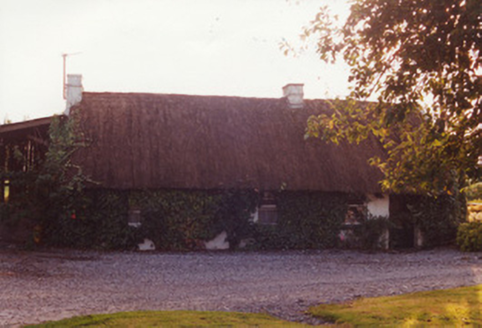 farm house279 yd
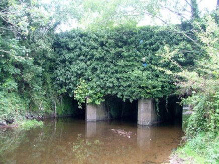 aqueduct1274 ydArdnagross WellSpring · 1345 yd
 Ballycowan CastleCastle · 1476 yd
 Wild Cherry1672 yd
 Graveyard1.2 miChrist's WellSpring · 1.3 mi
 Pedunculate Oak1.3 mi
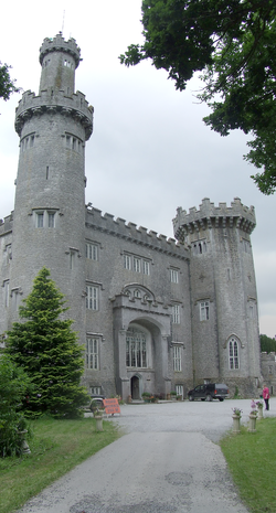 Charleville CastleCastle · 1.5 mi
 Grand Canal WayWalking route · 3.7 mi
 CrossCross, High cross · 4.6 mi
 Mick the MillerMemorial · 5.8 mi
Pictures: National Inventory of Architectural Heritage; Kieran Campbell, Wikimedia Commons · CC BY-SA 2.0; MPF, Wikimedia Commons · CC BY 2.5; Kieran Campbell, Geograph · Creative Commons Attribution-ShareAlike 2.0; Algirdas at Lithuanian Wikipedia, Wikimedia Commons · Public domain; User:Jgillett, Wikimedia Commons · Public domain; JP, Geograph · CC BY-SA 2.0; Dalenevada, Wikimedia Commons · CC BY-SA 4.0; kevin higgins, Wikimedia Commons · CC BY-SA 2.0
More archaeology and monuments in County Offaly · All of County Offaly
What do you know about this place?