
What is recorded here
Situated on the NW slopes of Reenconnell, overlooking the level plain drained by the Feohanagh river, this site is known locally as a burial ground (KE033-016002-) and is reputed to be the church site (KE033-016001-) from which the townland derived its name. Large quantities of stone have been removed from the site in…
Read the whole record
From the National Monuments Service (Archaeological Survey of Ireland) record KE033-016003
Places near here
Photo credits
- Maker not stated on source page, www.dreamstime.com
- Maker not stated on source page, uk.pinterest.com
- Maker not stated on source page, commons.wikimedia.org
- Pam Brophy, Geograph · CC BY-SA 2.0
- Maker not stated on source page, www.flickr.com
- Seandálaí, Wikimedia Commons · CC BY-SA 4.0
- Maker not stated on source page, www.atlasobscura.com
- Maker not stated on source page, www.alamy.com
- Nigel Cox, Wikimedia Commons · CC BY-SA 2.0
- Patrice78500, Wikimedia Commons · Public domain
- Maker not stated on source page, au.pinterest.com
 Graveyard in Cill ChúileGraveyard · 1 yd
Explorer Tom Graveyard in Cill Chúile would make Saint Patrick roll his eyes from the grave, probably. The stones have been removed…
 Standing stone in Cathair ScoilbínStanding stone · 611 yd
Explorer Tom Standing stone in Cathair Scoilbín vanished so fast you'd think it drank twenty cups of tea and ran off to the coast.…
 Standing stone in Cill ChúileStanding stone · 652 yd
Explorer Tom Standing stone in Cill Chúile has started an imaginary fan club with zero members. It stands next to a hut ruin, acting…
 Séipéal Bhréanainn [Saint Brendan's Catholic Church]Church/chapel · 913 yd
Explorer Tom Séipéal Bhréanainn in Kilcooly is in a fierce rivalry with the more famous church down the road because it lost its…
 Fairy fort / stone ringfort in Cathair ScoilbínFairy fort / stone ringfort · 978 yd
Explorer Tom Fairy fort in Cathair Scoilbín would buy a yacht if it won the lotto, but it can't afford petrol. The wall is basically…
 Fairy fort / earthen ringfort in An CharraigFairy fort / earthen ringfort · 1228 yd
Explorer Tom Fairy fort / earthen ringfort in An Charraig is basically a very smug circle that got levelled before it could say…
 Oratory (in ruins)Church · 1394 yd
Explorer Tom The Oratory in Cill Maoilchéadair is drafting a formal complaint to the council about all this damp getting into its…
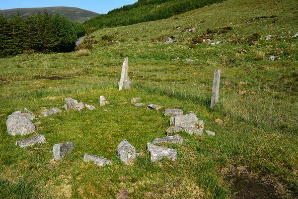 Bullaun stone in Cill MaoilchéadairBullaun stone · 1580 yd
Explorer Tom Bullaun stone in Cill Maoilchéadair has so many holes it looks like it got chewed by a very angry cow. A local tried to…
 Mapped cemeteryCemetery · 1614 yd
Explorer Tom Mapped cemetery in County Kerry supposedly had a smuggling ring operating from the back corner, moving crates of what…
 Murreagh Church (Kilmalkedar)Church/chapel · 1628 yd
Explorer Tom Murreagh Church in Cloghaneduff would describe itself to a stranger as 'slightly damp but spiritually superior'. It was…
 KilmalkeaderEcclesiastical site · 1681 yd
Explorer Tom Kilmalkeader would cope brilliantly on a reality show, probably winning the challenge for most dramatic backdrop. It’s…
 Ogham stone in Cill MaoilchéadairOgham stone · 1696 yd
Explorer Tom Ogham stone in Cill Maoilchéadair is guarded by a dog who thinks he's a bishop. He barks at shadows and demands…
More archaeology and monuments in County Kerry · All of County Kerry

What do you know about this place?Tap to add a comment or ask a question