What is recorded here
Situated on the lower NW slopes of Reenconnell, this low standing stone, roughly rectangular in plan and elevation, measures 1.07m high x .56m wide NW-SE x a maximum of .27m thick. It is located 1.9m E of, and was formerly separated by a field fence from the remains of a circular hut site (KE033-013002-). Its proximity to these remains may indicate a connection, but at present it is free standing and has no obvious structural function.
The above description is derived from J. Cuppage, ‘Corca Dhuibhne. Dingle Peninsula archaeological survey. Ballyferriter. Oidhreacht Chorca Dhuibhne’ (1986), no. 116. In certain instances the entries have been revised and updated in the light of recent research.
Date of upload: 4 August 2013
The monument record does not grant public access. Check the route and ask the landowner before entering private land.
- What survives
- Recorded monument
Places near here
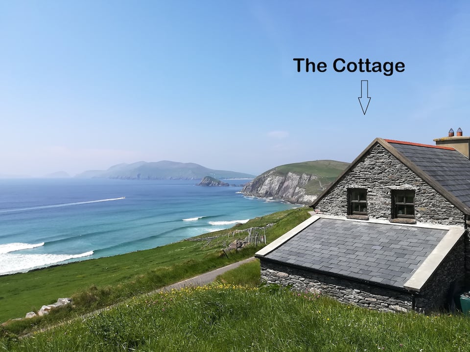 Hut site in Cill ChúileHut site · 10 yd
 Séipéal Bhréanainn [Saint Brendan's Catholic Church]church/chapel · 440 yd
 Hut site in An Baile LoisctheHut site · 465 yd
 Church in Cill ChúileChurch · 652 yd
 Cuan Ard na CaithneBay · 1.4 mi
 Gallarus Castle (in ruins)Castle, tower house · 1.5 mi
 Gallarus CastleCastle · 1.5 mi
 Gallarus OratoryHeritage attraction · 1.7 mi
 Trá an FhíonaBeach / strand · 1.9 mi
 Faill na MúCliff · 2.4 mi
 Riasc Monastic SettlementHeritage attraction · 2.5 mi
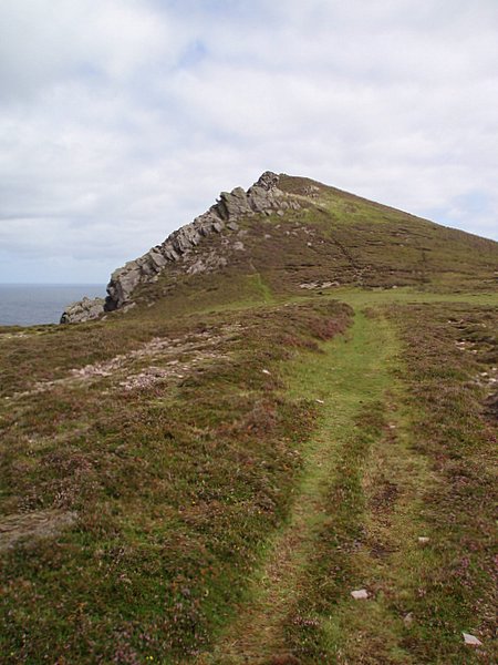 Binn DiarmadaMountain / peak · 2.6 mi