Places near here
Photo credits
- Pam Brophy, Geograph · CC BY-SA 2.0
- Seandálaí, Wikimedia Commons · CC BY-SA 4.0
- Patrice78500, Wikimedia Commons · Public domain
- Ramsey Cardy / Sportsfile, credited in The Irish Times caption, www.irishtimes.com
- Mick Garratt, Geograph · CC BY-SA 2.0
- Boston at English Wikipedia, Wikimedia Commons · Public domain
- Ingo Mehling, Wikimedia Commons · CC BY-SA 3.0
- Dáibhí Ó Bruadair, Wikimedia Commons · CC BY-SA 4.0
- Florian Thiery , Peter Thiery, Wikimedia Commons · CC BY 4.0
- Golfing in Ireland; photographer not stated, Source publisher
- Sharon Loxton, Geograph · CC BY-SA 2.0
- Oliver Dixon, Geograph · CC BY-SA 2.0
 Séipéal Bhréanainn [Saint Brendan's Catholic Church]Church/chapel · 913 yd
Explorer Tom Séipéal Bhréanainn in Kilcooly is in a fierce rivalry with the more famous church down the road because it lost its…
 Oratory (in ruins)Church · 1394 yd
Explorer Tom The Oratory in Cill Maoilchéadair is drafting a formal complaint to the council about all this damp getting into its…
 KilmalkeaderEcclesiastical site · 1681 yd
Explorer Tom Kilmalkeader would cope brilliantly on a reality show, probably winning the challenge for most dramatic backdrop. It’s…
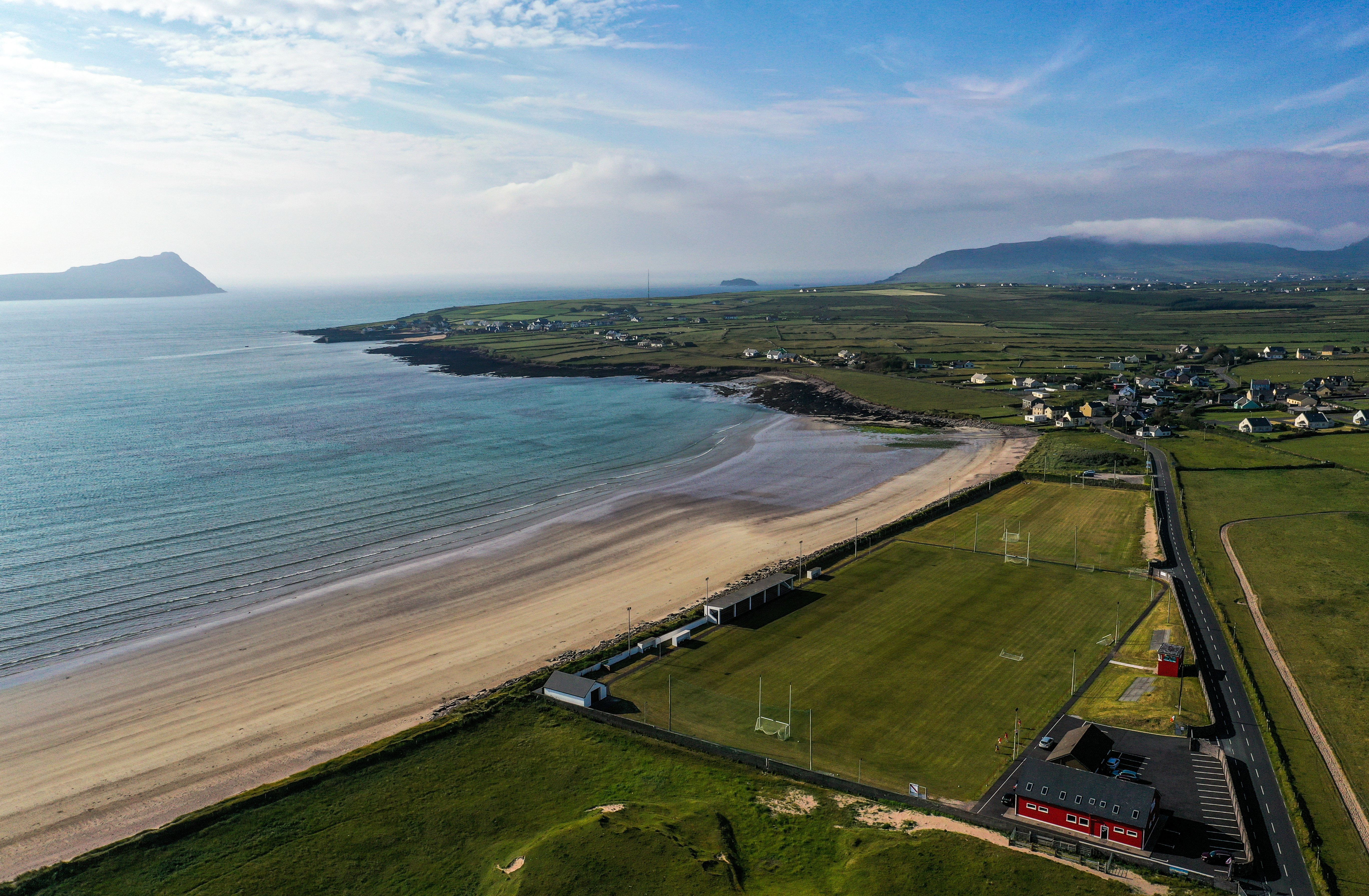 Gallarus, An GhaeltachtGAA ground · 1.5 mi
 Gallarus Castle (in ruins)Castle, tower house · 1.6 mi
Explorer Tom Gallarus Castle sits by Smerwick Harbour, acting like it’s the main event when it’s just a tower. I heard a fox took…
 Gallarus CastleCastle · 1.6 mi
Explorer Tom Gallarus Castle rises above Baile na nGall on the Dingle Peninsula, a four-storey tower that seems to have borrowed the…
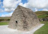 Gallarus OratoryHeritage attraction · 1.8 mi
Explorer Tom Gallarus can shrug off Kerry rain better than my old coat. Gallarus Oratory has the shape of an overturned stone boat…
 Cuan Ard na CaithneBay · 1.8 mi
Explorer Tom Ard na Caithne gives me two names to wrestle with before I even reach the shore. The Irish means height of the arbutus…
 Ogham stone in Baile An ReannaighOgham stone · 2.3 mi
Explorer Tom Ogham stone in Baile An Reannaigh has changed its name so many times it's basically a chameleon with commitment issues.…
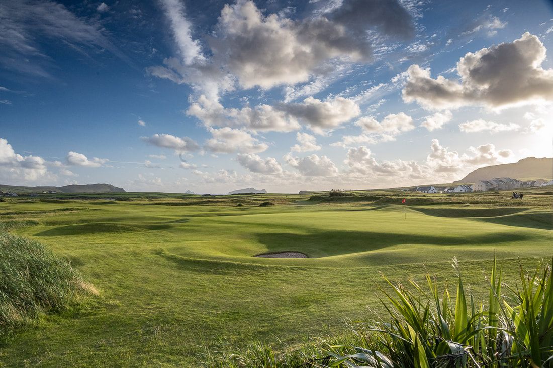 Ceann Sibeal Golf ClubGolf course · 4.4 mi
 Ceann an DúnaHeadland · 5.3 mi
Explorer Tom Ceann an Dúna is stuck showing off its vertical sandstone cliffs like it’s trying to impress Ferriter's Castle right…
 Dunmore HeadViewpoint · 8.5 mi
Explorer Tom Dunmore Head in County Kerry would tell a job interview it has excellent exposure to the Atlantic and zero patience for…
More memorials and graveyards in County Kerry · All of County Kerry

What do you know about this place?Tap to add a comment or ask a question