What is recorded here
The site is located in a field of pasture on rising ground W of Brides Glen near Loughlinstown. An aerial photograph taken in 1971 (FSI 3.698/9) shows part of a circular enclosure (diam. c. 23m) which is not visible at ground level.
Compiled by: Geraldine Stout and Padraig Clancy.
Revised upload on: 14 April 2018.
The monument record does not grant public access. Check the route and ask the landowner before entering private land.
- What survives
- Recorded monument
Places near here
 Fulacht fia in CherrywoodFulacht fia · 90 yd
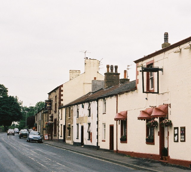 BarrowBarrow, ring-barrow · 124 yd
 viaductviaduct · 394 yd
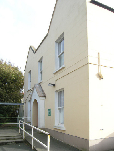 Saint Columcille's Hospitalconvent/nunnery · 441 yd
 Loughlinstown WoodsNature reserve · 799 yd
 Shanganagh CastleCastle, tower house · 1168 yd
 Michael DavittMemorial · 1452 yd
 Rathmichael WalkWalking route · 1.1 mi
 Martello Tower No.7 Killiney - Killiney HillFort · 1.1 mi
 Dublin Mountains Way Trailhead SignVisitor information · 1.2 mi
 Funeral PathVisitor information · 1.2 mi
 Proclamation of the Irish RepublicMemorial · 1.3 mi