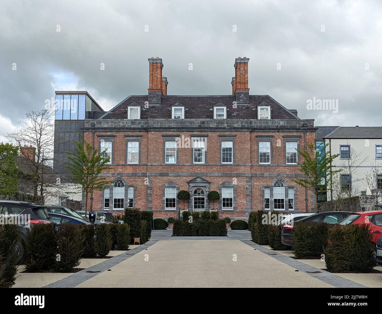
What is recorded here
Enclosing a slight rise in gently undulating low-lying pasture. A ditch-barrow (TS065-063011-) lies on the N side of the interior and another (TS065-063010-) on the S side. Identified on aerial photograph (Bruff 68, 5/2041). Roughly D-shaped naturally raised area (dims. 47m NNE-SSW; 22m WNW-ESE) defined by a modified earthen scarp (Wth 2.2m; ext. H 0.45m) with an external broad flat-bottomed (overall Wth 2.6m; Wth at base 1.6m; D 0.2m) skirting the base of the natural rise. The scarp is well defined SW-NE being very irregular and difficult to distinguish from the slopes of the naturally undulating terrain SE-SW. The fosse is not visible at ground level SE-SW where the exact extent of the enclosure is unclear at ground level. The current E extent of the enclosure is defined by a NNE-WSW orientated modern field boundary that skirts the base of the raised area. The interior undulates slightly and is clear of overgrowth. A relic field boundary, orientated WNW-ESE, in the form of a shallow drain (av. dims.; overall Wth 4m; Wth at base 1.4m; D 0.3m), crosses the enclosure to S of centre between the two ditch barrows mentioned above. Another NE-SW orientated shallow drain (av. dims.; overall Wth 4.2m; Wth at base 1.6m; D 0.3m) crosses the SE edge of the interior.
Compiled by: Jean Farrelly
Date of revised upload: 15 September 2014
The monument record does not grant public access. Check the route and ask the landowner before entering private land.
- What survives
- Recorded monument
Places near here
 Enclosure in ChancellorslandEnclosure · 119 yd
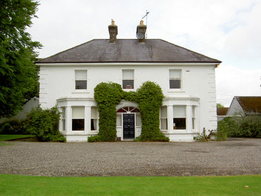 Farranasa Househouse · 1310 yd
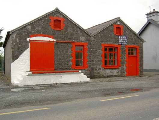 Saint Ailbe's Creamerycreamery · 1545 yd
 St. Peters WellHoly well · 1.0 mi
 Glebe Ho.Castle, unclassified · 1.3 mi
 CastleCastle, motte · 2.3 mi
 Kilteely HillMountain / peak · 3.7 mi
 St. Patrick's WellSpring · 4.0 mi
 St Patrick's WellSpring · 4.1 mi
 Flat cemetery in Knockainy WestFlat cemetery · 4.6 mi
 Oola HillMountain / peak · 5.4 mi
 Ballinvreena LoopVisitor information · 7.1 mi
Other information
Photo: Credit not shown in the picture search · Rights wording not checked; contact us if this picture should be removed