What is recorded here
Sub-circular shaped enclosure (diam. c. 44m) surrounding low mound visible on OS 2000 and 2005 orthophotos (http://maps.osi.ie/publicviewer/#V1,682595,672953,6,0 [Accessed 6 June 2012]) and Google maps (https://maps.google.ie/ [Accessed 6 June 2012]).
Compiled by: Claire Breen
Date of upload: 6 June 2012
The monument record does not grant public access. Check the route and ask the landowner before entering private land.
- What survives
- Recorded monument
Places near here
 Castlemore Housecountry house · 340 yd
 Enclosure in RathnashannaghEnclosure · 614 yd
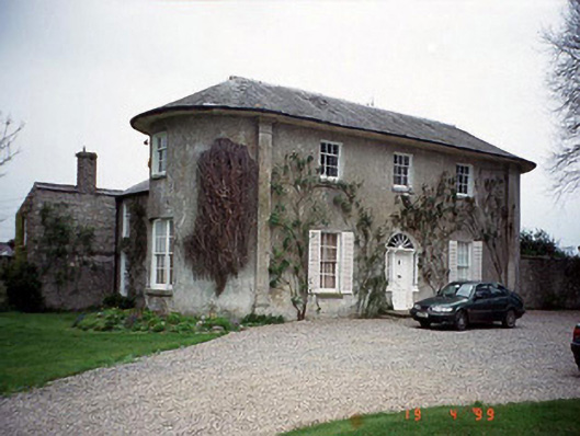 Hardymount Househouse · 956 yd
 Enclosure in GrangefordEnclosure · 1191 yd
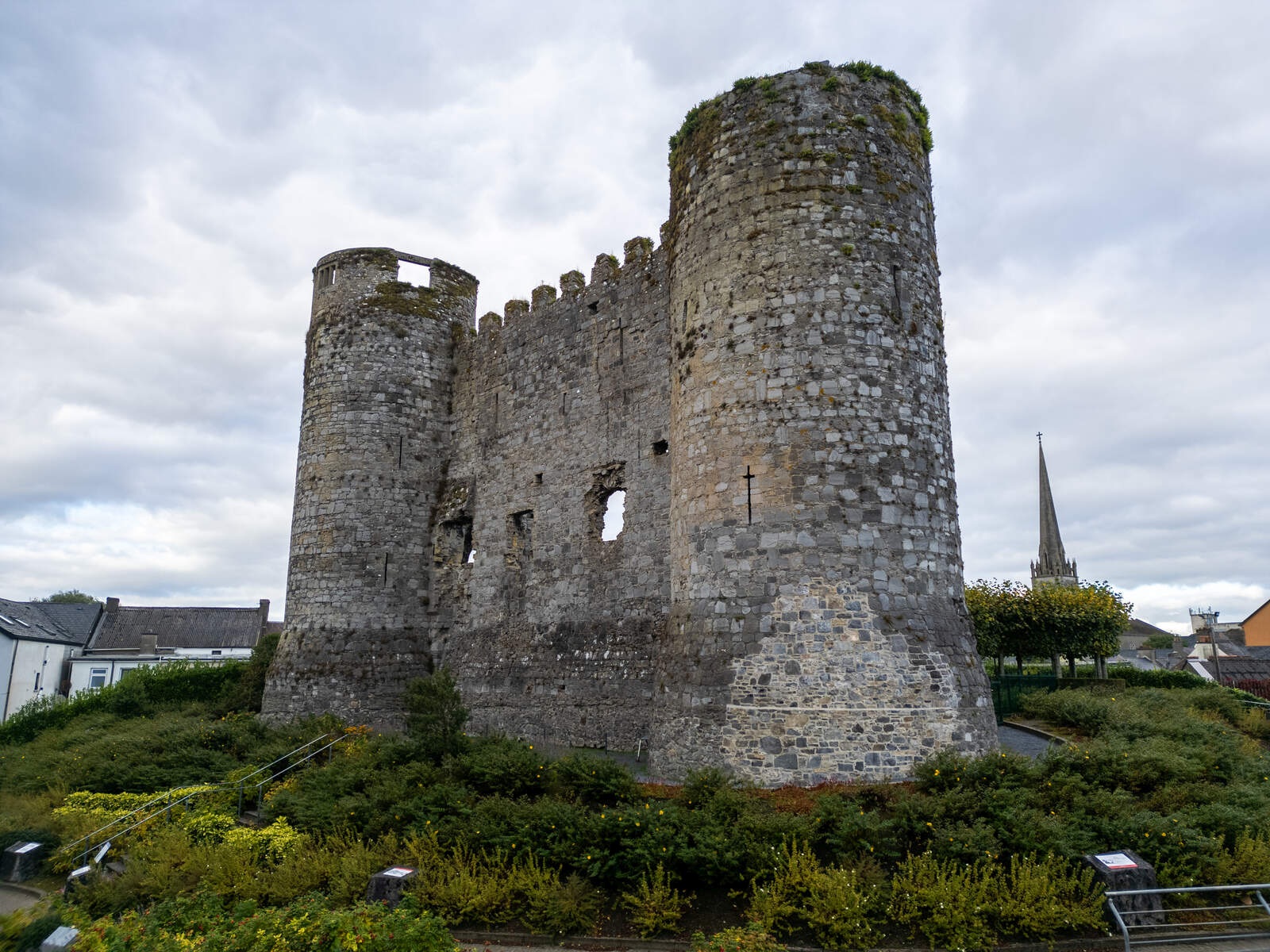 CastleCastle, motte · 1.7 mi
 European ashEuropean ash · 2.4 mi
 Coppenagh CastleCastle, tower house · 2.5 mi
 Kilmurry Church (in ruins), GraveyardChurch · 2.7 mi
 Duckett's GroveHeritage attraction · 4.2 mi
 Church (in ruins), GraveyardChurch · 4.2 mi
 Rath WoodForest · 4.3 mi
 Brownshill Portal TombVisitor information · 4.9 mi