
What is recorded here
On undulating pasture 250m W of townland boundary with Courtmatrix and 2km SW of Rathkeale. The ringfort known as the Rath of Rathkeale (LI029-031007-) is located 1400m to ENE. The site is not depicted on the 1840 ed. OSi 6-inch map nor is it on the 1897 ed. OSi 25-inch map. The site is not visible on the OSi…
Read the whole record
From the National Monuments Service (Archaeological Survey of Ireland) record LI029-016
Places near here
Photo credits
- National Inventory of Architectural Heritage
- Maker not stated on source page, www.ancient-origins.net
- Mike Searle, Geograph · CC BY-SA 2.0
- Maker not stated on source page, www.arrivalguides.com
- Kmcnamee, Wikimedia Commons · CC BY-SA 4.0
- Maker not stated on source page, www.msn.com
- Maker not stated on source page, commons.wikimedia.org
- Dedublinfan, Wikimedia Commons
- Maker not stated on source page, www.tripadvisor.ie
- Willow, Wikimedia Commons · CC BY 2.5
 milestone/milepost716 yd
Explorer Tom That milestone in Castlematrix nearly became a celebrity when a famous actor tripped over it and broke his shoe, but he…
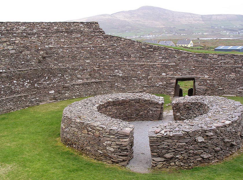 Fairy fort / earthen ringfort in BallinlynyFairy fort / earthen ringfort · 916 yd
Explorer Tom This levelled Fairy fort / earthen ringfort in Ballinlyny claims its celebrity friend is a very shy ghost named Seamus.…
 Castle MatrixCastle · 920 yd
Explorer Tom Castle Matrix has a tall tale about a hidden tunnel that leads straight to the nearest pub, which I am fully buying.…
 Cloghanarold HouseCountry house · 1123 yd
Explorer Tom Cloghanarold House has a limekiln disguised as a folly, which is basically a garden ornament with an identity crisis…
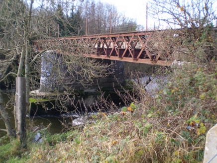 bridge1364 yd
Explorer Tom Bridge in Castlematrix is stuck in a feud with the road bridge next door over who has the better view of the river.…
 Memorial stone in EnniscoushMemorial stone · 1674 yd
Explorer Tom Memorial stone in Enniscoush would have confused the Vikings who got lost looking for it. It commemorates a Southwell…
 St. Mary's Sean Finns, Rathkeale GAA pitchGAA ground · 1.2 mi
 Clonagh GraveyardGraveyard · 1.5 mi
Explorer Tom Clonagh Graveyard smells like old rain and forgotten secrets, according to Tom's very scientific nose. It’s the kind of…
 Graveyard in AbbeylandsGraveyard · 1.6 mi
Explorer Tom Graveyard in Abbeylands is playing hard to get while a bird refuses to leave its perch. The bones got moved by a sewer…
 Mick Neville ParkGAA ground · 1.7 mi
Explorer Tom Mick Neville Park announces itself at the gate, then lets Rathkeale's pitches do the arguing. Limerick's county board…
 CastleCastle, unclassified · 1.7 mi
Explorer Tom Locals swear by a superstition that if you trip over a stone near Kyletaun Castle, you’re forgiven for all past sins.…
 European ash2.0 mi
Explorer Tom European ash makes a creaking sound at night that sounds exactly like someone judging your life choices. It’s just a…
More archaeology and monuments in County Limerick · All of County Limerick

What do you know about this place?Tap to add a comment or ask a question