
What is recorded here
The following account was given by Celie O'Rahilly about the discovery of a burial possibly belonging to a graveyard associated with the Augustinian Abbey (LI029-031006-) in Rathkeale ; 'In 1992 during pipe-laying for a sewerage scheme, mechanical excavations uncovered human remains in Rathkeale, Co. Limerick, in the…
Read the whole record
From the National Monuments Service (Archaeological Survey of Ireland) record LI029-031011
Places near here
Photo credits
- National Inventory of Architectural Heritage
- Dedublinfan, Wikimedia Commons
- Maker not stated on source page, www.arrivalguides.com
- Maker not stated on source page, www.gettyimages.com
- Kmcnamee, Wikimedia Commons · CC BY-SA 4.0
- Maker not stated on source page, www.tripadvisor.ie
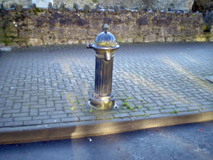 water pump7 yd
Explorer Tom Abbeylands water pump hides a treasure that is definitely just a biscuit tin from 1954. It’s got an acorn finial, so it…
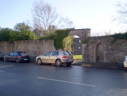 gates/railings/walls37 yd
Explorer Tom Gates in Abbeylands have a prophecy that they’ll open to reveal a dragon, but we’re all waiting for a bus instead. The…
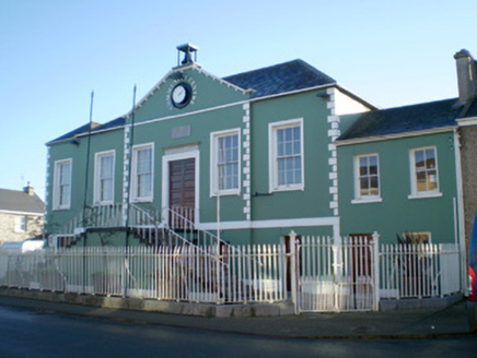 Áras Pobail Ráth CaolaCourt house, prison/jail · 105 yd
Explorer Tom Áras Pobail Ráth Caola in Rathkeale used to hold prisoners, but now it just holds grudges against bad parking. Locals…
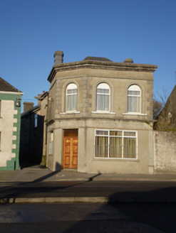 Round HouseHouse · 135 yd
Explorer Tom Round House in Rathkeale has an unlikely celebrity friend who swears they saw it in a dream once. Its chamfered corner…
 Allied Irish BankBank/financial institution · 244 yd
Explorer Tom Allied Irish Bank in Rathkeale thinks the road leading to it is a bit too casual. The steps up make you feel like…
 Mick Neville ParkGAA ground · 255 yd
Explorer Tom Mick Neville Park announces itself at the gate, then lets Rathkeale's pitches do the arguing. Limerick's county board…
 The DeelHouse · 349 yd
Explorer Tom The Deel on Main Street will tell you it once saw the future after three pints. It’s in poor repair but its shopfront…
 Bank of IrelandBank/financial institution · 398 yd
Explorer Tom Bank of Ireland in Rathkeale, County Limerick has a family tree that is mostly made up of very rich uncles and stone…
 Memorial stone in EnniscoushMemorial stone · 1147 yd
Explorer Tom Memorial stone in Enniscoush would have confused the Vikings who got lost looking for it. It commemorates a Southwell…
 Fairy fort / earthen ringfort in Ballywilliam NorthFairy fort / earthen ringfort · 1258 yd
Explorer Tom Fairy fort / earthen ringfort in Ballywilliam North has levelled itself completely and is now just flat grass…
 St. Mary's Sean Finns, Rathkeale GAA pitchGAA ground · 1314 yd
 CastleCastle, unclassified · 1362 yd
Explorer Tom Locals swear by a superstition that if you trip over a stone near Kyletaun Castle, you’re forgiven for all past sins.…
More memorials and graveyards in County Limerick · All of County Limerick

What do you know about this place?Tap to add a comment or ask a question