What is recorded here
In rough pasture, on N side of 'Carrownreddy Road'. Area of monument disturbed by use as a storage yard for building materials. Depicted on latest edition of the OS 6-inch map as a sub-oval enclosure SW-N-SE defined by scarp and truncated by road at southern sector. Interior levelled and parts of E and W scarp may survive in a disturbed state. Depicted on first editon OS 6-inch map (1840) as an area of woodland defined by road to S and Carrownreddy Lough to N.
Compiled by: Jean Farrelly
Date of upload: 26 August 2011
The monument record does not grant public access. Check the route and ask the landowner before entering private land.
- What survives
- Recorded monument
Places near here
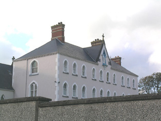 Rosanna Convent of Mercyconvent/nunnery · 483 yd
 MoatCastle, motte and bailey · 492 yd
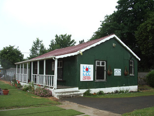 Rosanna Tennis Clubsports hall/centre/gymnasium · 555 yd
 IndicatedHoly well · 956 yd
 It's a long way to TippereryHeritage attraction · 986 yd
 I.R.A. 3rd. Tipperary Brigade MemorialMemorial · 1055 yd
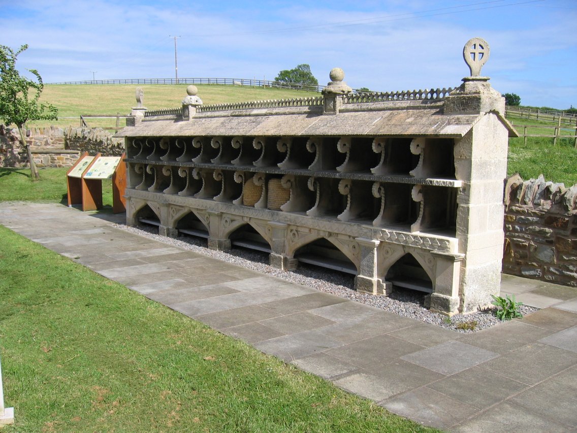 Enclosure in SadleirswellsEnclosure · 1062 yd
 Mutton Pie HillCastle, motte · 1082 yd
 The Maid of ErinMemorial · 1193 yd
 European ashEuropean ash · 2.4 mi
 The RockViewpoint · 3.0 mi
 Christ the KingViewpoint · 3.6 mi