
What is recorded here
Not marked on the 1837 edition of the OS 6-inch map. Depicted on the 1913 edition as a small D-shaped field. Slightly raised circular area (diam. 32m) defined from W-WNW-NW by a curve in the modern field boundary and from NNW-N-E by a low scarp (H 0.5m). The S half of the site has been levelled and there are no upstanding remains surviving. No fosse. Original entrance not recognisabble. The E-W field boundary, which divided the site into approximately equal portions, has been removed.
Compiled by: Patrick F. O'Donovan
Date of upload: 19 January 2011
A local fairy fort (ringfort/rath); wider significance not recorded.
This remains an important historical record, but the official description says the monument is no longer visible or has been destroyed. The monument record does not grant public access. Check the route and ask the landowner before entering private land.
- What survives
- No visible remains or recorded as destroyed
Places near here
 IndicatedFairy fort / earthen ringfort · 516 yd
 Enclosure in Spring GardenEnclosure · 539 yd
 Bawn in Longford DemesneBawn · 1573 yd
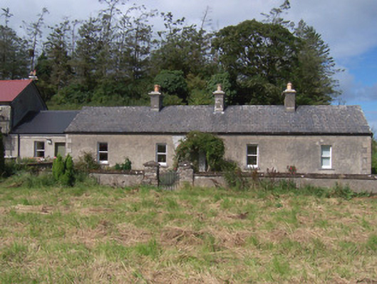 The Swallow Loftchurch/chapel · 1630 yd
 Giant's GraveArchaeological place · 1633 yd
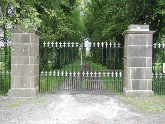 Longford Housegates/railings/walls · 1640 yd
 Valley WoodForest · 1732 yd
 Pigeonpark WoodForest · 1.2 mi
 CastleCastle, ringwork · 1.6 mi
 Lahanacappul IslandIslet · 2.0 mi
 Ballinlig PointHeadland · 2.2 mi
 Portavaud PointHeadland · 2.3 mi
Other information
Photo: Credit not shown in the picture search · Rights wording not checked; contact us if this picture should be removed