What is recorded here
In flat, lowlying damp ground. The Heathfield river, which follows a meandering course to N, is located c. 50m to E. Ground rises gradually to N. Ground rises gradually to N. This enclosure, which has been levelled, was noted in aerial photographs in the early 1990’s (SMR file 1994). At ground level, the outline is barely discernible of a roughly circular, flat area (diam. c. 20m N−S) defined on the perimeter by a gapped, indistinct cropmark/band of drier ground (Wth c. 2m).
Compiled by: Jane O’Shaughnessy
Date of upload: 21 June 2017
The monument record does not grant public access. Check the route and ask the landowner before entering private land.
- What survives
- Recorded monument
Places near here
 Enclosure in Carrowmore (tirawley By., Kilbride Par.)Enclosure · 1125 yd
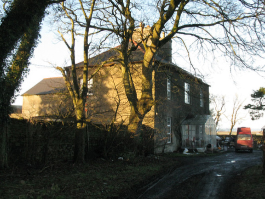 Ballycastle Housefarm house · 1283 yd
 Enclosure in Kilbride (tirawley By.)Enclosure · 1303 yd
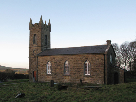 Saint John's Church (Doonfeeny)church/chapel · 1581 yd
 Ballycastle BeachBeach / strand · 1.6 mi
 Castle (in Ruins)Castle, tower house · 2.1 mi
 Lisheen Grave YardArchaeological place · 2.3 mi
 PollatarriveCliff · 2.7 mi
 WW2 Éire MarkerHeritage attraction · 3.1 mi
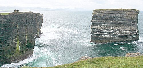 Downpatrick HeadHeadland · 3.1 mi
 CastleCastle, unclassified · 3.5 mi
 BlowholeCliff · 3.8 mi