What is recorded here
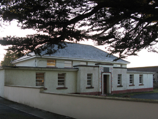
Detached six-bay double-height girls' national school, built 1938; dated 1938, on a symmetrical plan with two- or three-bay single-storey flat-roofed "pavilions" centred on three-bay single-storey flat-roofed breakfront. Closed, 1992. Reroofed, ----. Now disused. Replacement hipped artificial slate roof with concrete ridge tiles, slightly sproketed or swept eaves, and uPVC rainwater goods on slightly overhanging box eaves retaining cast-iron downpipes. Roughcast walls on rendered plinth. Square-headed central door opening below drag edged rusticated cut-limestone date stone ("1938") with rendered surround having stepped reveals framing glazed timber panelled door. Square-headed window openings with concrete sills, and concealed dressings framing two-over-two timber sash windows having horizontal glazing bars with three-over-three timber sash windows to rear (south) elevation having horizontal glazing bars. Set in unkempt grounds with rendered piers to perimeter having chamfered capping.
A national school erected to a standardised design produced (1938) by the Office of Public Works (established 1831) representing an integral component of the twentieth-century built heritage of Ballycastle. A prolonged period of neglect notwithstanding, the elementary form and massing survive intact together with substantial quantities of the original fabric, thus upholding the character or integrity of a national school making a pleasing, if increasingly forlorn visual statement in a rural village street scene (cf. 31201010).
This does not grant access. Most recorded buildings are privately owned; view them only from public ground unless the owner allows entry.
Places near here
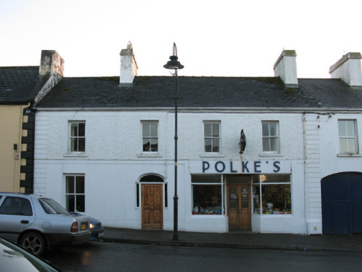 Polke'shotel · 50 yd
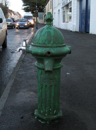 water pumpwater pump · 70 yd
 indicatedFairy fort / stone ringfort · 1496 yd
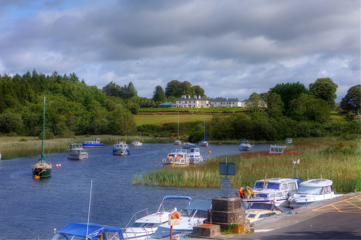 LisbrinFairy fort / earthen ringfort · 1752 yd
 Ballycastle BeachBeach / strand · 1.2 mi
 Castle (in Ruins)Castle, tower house · 1.6 mi
 Lisheen Grave YardArchaeological place · 2.3 mi
 BlowholeCliff · 3.2 mi
 PollatarriveCliff · 3.4 mi
 WW2 Éire MarkerHeritage attraction · 3.4 mi
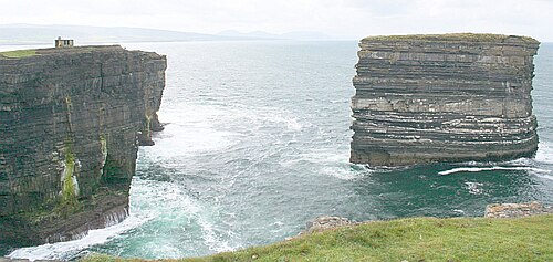 Downpatrick HeadHeadland · 3.5 mi
 Céide Fields Visitor CentreVisitor information · 4.0 mi
Other information
Photo: National Inventory of Architectural Heritage · Website use allowed for educational or private purposes with source credit