
What is recorded here
From the National Monuments Service (Archaeological Survey of Ireland) record MA072-003
Places near here
Photo credits
- Swinford GAA; the page thanks Michael Maye, Rita Campbell and Fiona McDonagh, without assigning the panoramic image to one maker, swinfordgaa.ie
- Golfing in Ireland; photographer not stated, Source publisher
- Maker not stated on source page, www.pinterest.com
- Maker not stated on source page, www.wellwoodmemorials.com
- National Inventory of Architectural Heritage
- Maker not stated on source page, www.dreamstime.com
- Maker not stated on source page, megalithics.com
- Maker not stated on source page, en.wikipedia.org
- Maker not stated on source page, uk.pinterest.com
- Maker not stated on source page, au.pinterest.com
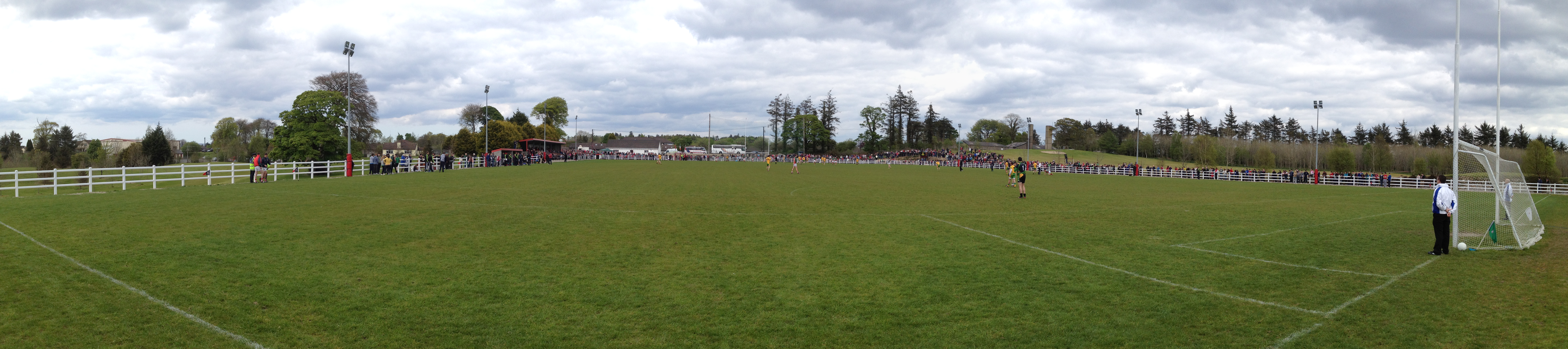 Robert McCallion Memorial Park, Swinford GAAGAA ground · 1324 yd
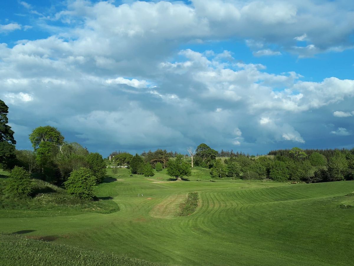 Swinford Golf ClubGolf course · 1488 yd
 Standing stone in Brackloon (gallen By.)Standing stone · 1.9 mi
Explorer Tom Standing stone in Brackloon is leaning so far over it’s practically napping on the hillside. I reckon it dodged the…
 St. Joseph's Cemetery MidfieldCemetery · 1.9 mi
Explorer Tom St. Joseph's Cemetery Midfield has very strong opinions about which sheep are allowed to graze on its headstones and…
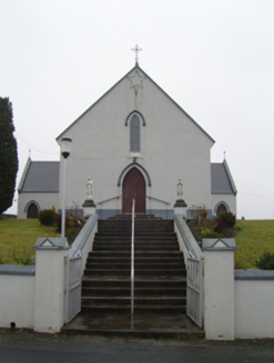 Saint Joseph's Catholic ChurchChurch/chapel · 2.0 mi
Explorer Tom Saint Joseph’s Catholic Church in Treanlaur has a bishop who refused to visit, so it’s been sulking ever since. It’s…
 bridge2.2 mi
Explorer Tom Bridge in Ballinlag is a tiny culvert-like thing that was built for a railway line called the 'Burma Road,' which…
 Church (in Ruins)Church · 2.5 mi
Explorer Tom Church in Kinaff smells like old wet socks and forgotten promises, according to my very scientific nose. It sits in the…
 Wedge tomb in BarnalyraWedge tomb · 3.8 mi
Explorer Tom Wedge tomb in Barnalyra is playing hide-and-seek on that rise. Imagine explaining its stone gallery to a teen; they’d…
 Kilkelly Cemetery CulmoreCemetery · 5.6 mi
Explorer Tom Kilkelly Cemetery Culmore in County Mayo is sick of being asked if it’s haunted, which it finds offensive because it’s…
 Bush IslandIslet · 19 mi
Explorer Tom This third Bush Island in County Mayo is listening to what the seagulls say about its character, which isn’t kind.…
 Coarse IslandIslet · 20 mi
Explorer Tom Coarse Island would complain to the council that its name is too literal for a tourist destination. It’s got that…
 MacPhilbins Castle (in ruins)Castle, tower house · 22 mi
Explorer Tom MacPhilbins Castle would win a county fair by simply existing and looking impressive while doing nothing. It’s a tower…
More archaeology and monuments in County Mayo · All of County Mayo

What do you know about this place?Tap to add a comment or ask a question