What is recorded here
On a gradual E-facing slope in gently undulating terrain. According to Cahill (1982) the enclosure was levelled c. 1940. The landowner remembers a slight bank delineating the enclosure. The area of the monument is now an orchard. There is a slight rise which may delimit the E quadrant. The enclosure abutted the townland boundary in the W quadrant, this boundary is still in situ. On the 1st (1840) ed. OS 6-inch map a limekiln is indicated in the NE sector of the enclosure. On the 2nd (1906) ed. (dims. c. 63m N-S; c. 53m E-W) the monument is indicated as an oval enclosure surrounded by a bank with a fosse depicted in the N sector. The enclosure is truncated by a townland boundary in the W quadrant.
Compiled by: Jean Farrelly
Date of upload: 26 August 2011
The monument record does not grant public access. Check the route and ask the landowner before entering private land.
- What survives
- Recorded monument
Places near here
 Persian WalnutPersian Walnut · 640 yd
 Enclosure in Shanbally (lisronagh Par.)Enclosure · 674 yd
 Site of Carrigeen CastleCastle, unclassified · 675 yd
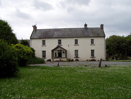 Annsforthouse · 678 yd
 RoadRoad, road/trackway · 794 yd
 TobernagloghdergHoly well · 854 yd
 Castle (in ruins)Castle, unclassified · 1448 yd
 Pedunculate OakPedunculate Oak · 1.8 mi
 East GateMemorial · 3.6 mi
 Charles BianconiMemorial · 4.4 mi
 Main GuardHeritage attraction · 4.4 mi
 Merchant's HouseVisitor information · 4.5 mi