What is recorded here
Situated at the S end of a low N-S ridge. A circular grass-covered feature (ext. diam. c. 50m) that is probably defined by a wide and low earthen bank that is incorporated into a field bank and townland boundary with Tullylough SW-NW is visible only on Google Earth (07/02/2019) but the enclosure and its bank can be confirmed from LiDAR coverage. It is traversed by a relict E-W field bank towards the perimeter at S, and it was first reported by Jean Charles Caillére. See the attached enhanced view from Google Earth (07/02/2019)
Compiled by: Michael Moore
Date of upload: 21 January 2022
Situated at the S end of a low N-S ridge. A circular grass-covered feature (ext. diam. c. 50m) that is probably defined by a wide and low earthen bank that is incorporated into a field bank and townland boundary with Tullylough SW-NW is visible only on Google Earth (07/02/2019) but the enclosure and its bank can be confirmed from LiDAR coverage. It is traversed by a relict E-W field bank towards the perimeter at…
From the National Monuments Service (Archaeological Survey of Ireland) record CV020-094
The monument record does not grant public access. Check the route and ask the landowner before entering private land.
- What survives
- Recorded monument
Places near here
Photo credits
- National Inventory of Architectural Heritage
- Peter Gerken, Geograph · CC BY-SA 2.0
- Algirdas at Lithuanian Wikipedia, Wikimedia Commons · Public domain
- Bruce Marlin, Wikimedia Commons · CC BY 3.0
- Adam Simpson, Geograph · CC BY-SA 2.0
- Oliver Dixon, Wikimedia Commons · CC BY-SA 2.0
- Deadstar, Wikimedia Commons · CC BY-SA 4.0
- Sarah777 at English Wikipedia, Wikimedia Commons · Public domain
- NTF30, Wikimedia Commons · CC BY-SA 4.0
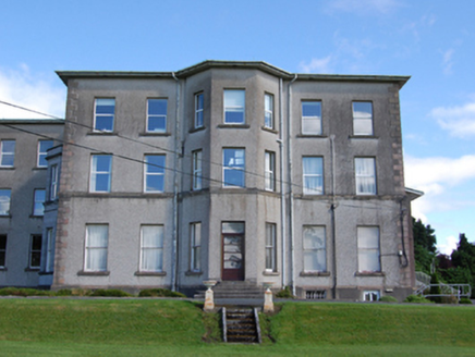 Loreto CollegeCountry house · 636 yd
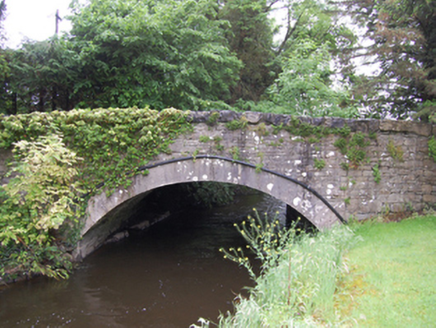 bridge667 yd
 Rambling at Farnham EstateVisitor information · 1635 ydBawn in FarnhamBawn · 1662 yd
 Pedunculate Oak1.4 miOwen Roe O'Neill graveMemorial · 1.5 mi
 Cucumber Magnolia2.2 mi
 Clogh Oughter CastleCastle, Anglo-Norman masonry castle · 3.1 mi
 Cloughoughter CastleIsland castle ruin · 3.5 mi
 Fin Mc Cools FingersStone row · 3.6 mi
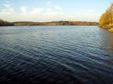 Lough OughterLake and island landscape · 3.9 mi
 Court tomb in GartnanoulCourt tomb · 4.5 mi
More archaeology and monuments in County Cavan · All of County Cavan
What do you know about this place?