What is recorded here
In young forestry, on a steep NW-facing slope. Roughly circular clearing (dims. 22m N-S; 20m E-W) in forestry probably forms archaeological buffer zone. No visible surface trace at ground level. Possible enclosures visible on aerial photograph (GSI S.506/5, June 1973; Air Corps V.312/3086-5) as a roughly circular area (map diam. 25m) with a partial enclosure abutting to ESE and open on its ESE-side. Curvilinear feature SE-W-NW is to N of latter.
Compiled by: Jean Farrelly
Date of upload: 26 August 2011
The monument record does not grant public access. Check the route and ask the landowner before entering private land.
- What survives
- Recorded monument
Places near here
 IndicatedFairy fort / earthen ringfort · 1558 yd
 CarrickbrockMountain / peak · 1713 yd
 Killusty CastleCastle · 1722 yd
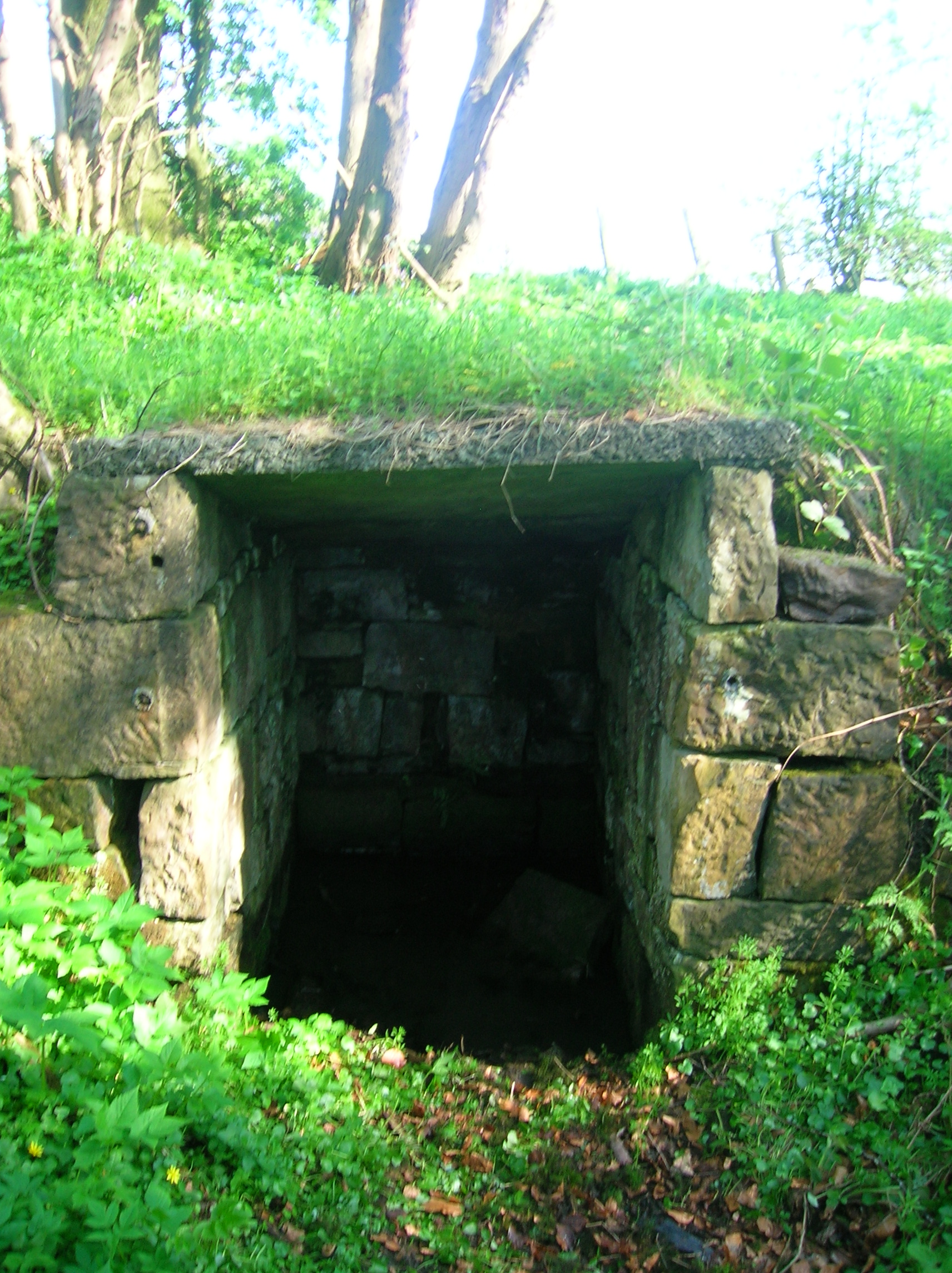 Ladys WellHoly well · 1754 yd
 Loughcapple Househouse · 1.0 mi
 Loughcapple Bridgebridge · 1.1 mi
 CarrigdotiaMountain / peak · 1.1 mi
 CastleCastle, Anglo-Norman masonry castle · 1.5 mi
 Pedunculate OakPedunculate Oak · 2.4 mi
 Persian WalnutPersian Walnut · 2.6 mi
 East GateMemorial · 3.8 mi
 CarrigaunEnclosure · 1.1 mi