
What is recorded here
In level pasture, to rear of cottage and yard. Oval area (dims. 44m N-S; 40m E-W) defined by flat-topped earthen bank (Wth 7.95m; int. H 0.85m; ext. H 2.05m) obscured by overgrowth. Field boundary may abut bank at NE accounting for increased width in bank (top Wth 5m). Bank reduced to scarp (Wth 2m; H 1.0m) at S. External fosse (basal Wth 2m; overall Wth 7m; D 0.7m) SSE-W-NE and probably truncated by earthen field boundary NE-E-SSE. Possible causewayed entrance (Wth 5m) at S is eroded by cattle to W side. Interior slopes down gently to S.
Compiled by: Jean Farrelly
Date of upload: 26 August 2011
A local fairy fort (ringfort/rath); wider significance not recorded.
The monument record does not grant public access. Check the route and ask the landowner before entering private land.
- What survives
- Recorded monument
Places near here
 Loughcapple Househouse · 660 yd
 Loughcapple Bridgebridge · 812 yd
 CastleCastle, Anglo-Norman masonry castle · 1120 yd
 Pedunculate OakPedunculate Oak · 1136 yd
 Killusty CastleCastle · 1182 yd
 Enclosure in KiltinanEnclosure · 1338 yd
 Platform in GrangebegPlatform · 1454 yd
 CarrigdotiaMountain / peak · 1.8 mi
 CarrickbrockMountain / peak · 1.8 mi
 Grove WoodForest · 2.1 mi
 East GateMemorial · 2.9 mi
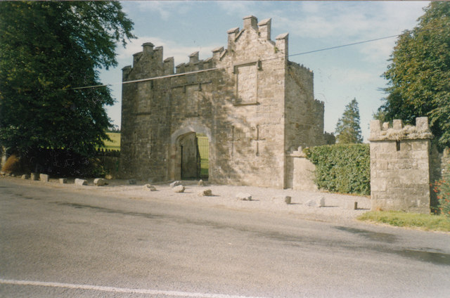 Kiltinan Castlegates/railings/walls · 964 yd
Other information
Photo: Credit not shown in the picture search · Rights wording not checked; contact us if this picture should be removed