
What is recorded here
In pasture, on a gentle SE-facing slope. No visible surface trace at ground level. Identified by aerial photograph (Air Corps 3051) as a curvilinear cropmark N-E-SSW.
Compiled by: Jean Farrelly
Date of upload: 26 August 2011
The monument record does not grant public access. Check the route and ask the landowner before entering private land.
- What survives
- Recorded monument
Places near here
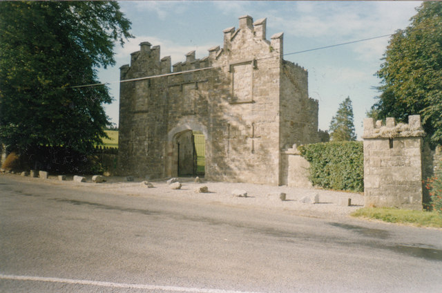 Kiltinan Castlegates/railings/walls · 605 yd
 Loughcapple Bridgebridge · 769 yd
 Platform in GrangebegPlatform · 820 yd
 Supposed Site of ChurchChurch · 854 yd
 Pedunculate OakPedunculate Oak · 855 yd
 CastleCastle, Anglo-Norman masonry castle · 937 yd
 Killusty CastleCastle · 1.4 mi
 Persian WalnutPersian Walnut · 1.7 mi
 CarrickbrockMountain / peak · 2.5 mi
 CarrigdotiaMountain / peak · 2.5 mi
 East GateMemorial · 2.7 mi
 Loughcapple Househouse · 815 yd
Other information
Photo: Credit not shown in the picture search · Rights wording not checked; contact us if this picture should be removed