What is recorded here
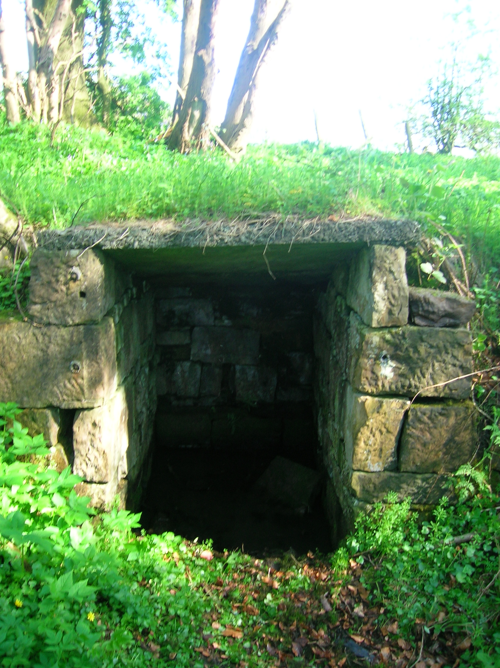
In flat terrain with small stream running N-S at base of long N-S running ridge, sloping down to W. No visible trace of holy well. According to landowner the well had been filled in by previous landowners. It may have been at the small pool at the N end of the stream.
Compiled by: Jean Farrelly
Date of upload: 26 August 2011
Linked to a local tradition of healing and protection, the well was reportedly dedicated to a saintly figure associated with fertility and safe childbirth, as was common with many "Lady's Wells" in Ireland, often connected to the Virgin Mary or a local female saint. The well’s filling in reflects a broader pattern of suppression or neglect of such sites during periods of religious or social change.
This remains an important historical record, but the official description says the monument is no longer visible or has been destroyed. The monument record does not grant public access. Check the route and ask the landowner before entering private land.
- What survives
- No visible remains or recorded as destroyed
Places near here
 Enclosure in Milltown BrittonEnclosure · 918 yd
 Milltown Househouse · 918 yd
 CarrigaunEnclosure · 996 yd
 TempleeaChurch · 1029 yd
 Pedunculate OakPedunculate Oak · 1.7 mi
 CarrickbrockMountain / peak · 1.8 mi
 Killusty CastleCastle · 1.8 mi
 Persian WalnutPersian Walnut · 1.8 mi
 Site of Carrigeen CastleCastle, unclassified · 1.8 mi
 CarrigdotiaMountain / peak · 2.1 mi
 East GateMemorial · 4.1 mi
 RetrospectMemorial · 5.1 mi
Other information
Photo: Credit not shown in the picture search · Rights wording not checked; contact us if this picture should be removed