What is recorded here
In tillage, on a gentle SE-facing slope. Not visible at ground level, except general areas of differential growth. Identified by aerial photography (CUCAP AVO 101, 16.7.1968) as area (c. 250m NE-SW; c. 150m NW-SE) of linear and curvilinear anomalies defined by cropmarks. Two mature chestnut trees indicate location of levelled field boundary to SE. According to Cahill (1982) 'the landowner reported that rubble suggestive of house foundations was unearthed during reclamation'. Lakefield House is visible c. 320m to NW.
Compiled by: Jean Farrelly
Date of upload: 26 August 2011
The monument record does not grant public access. Check the route and ask the landowner before entering private land.
- What survives
- Recorded monument
Places near here
 Lakefieldfarmyard complex · 518 yd
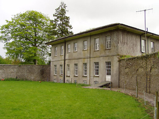 Lakefield Housewalled garden · 554 yd
 Enclosure in SladaghEnclosure · 604 yd
 Pedunculate OakPedunculate Oak · 694 yd
 Grove WoodForest · 1380 yd
 Enclosure in BaptistgrangeEnclosure · 1386 yd
 (Site of) Killerk CastleCastle, unclassified · 1.2 mi
 CastleCastle, motte · 1.3 mi
 East GateMemorial · 1.9 mi
 Kilknockan HillMountain / peak · 3.0 mi
 CarrigdotiaMountain / peak · 3.6 mi
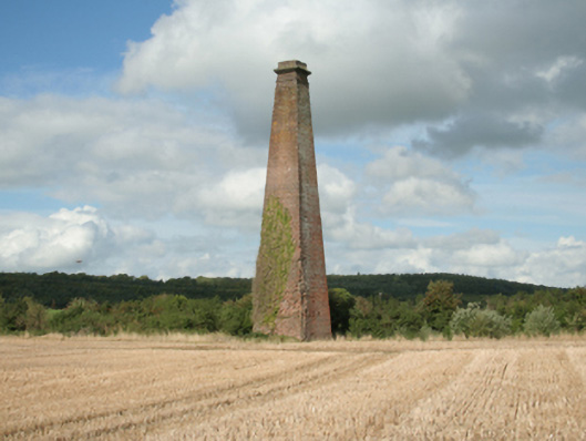 Kiltinan Brick Workschimney · 964 yd