
What is recorded here
On a gentle W-facing slope, just off the crest of a hill, in pasture. It is c. 50m S of a domestic well known as 'Tobershee' and c. 50m N of a possible enclosure (TS077-098----). The monument is depicted as a circular enclosure on the 1st (1840) ed. OS 6-inch map with a public road truncating the W quadrant. On the 2nd (1906) ed. only the E half of the monument is depicted (dims. c. 63m N-S), delimited by a single bank. The enclosure has been levelled, as has the field boundary to the S. There is no visible trace of the enclosure at ground level.
Compiled by: Jean Farrelly
Date of upload: 26 August 2011
This remains an important historical record, but the official description says the monument is no longer visible or has been destroyed. The monument record does not grant public access. Check the route and ask the landowner before entering private land.
- What survives
- No visible remains or recorded as destroyed
Places near here
 Supposed Site of ChurchChurch · 617 yd
 Platform in GrangebegPlatform · 628 yd
 Loughcapple Bridgebridge · 922 yd
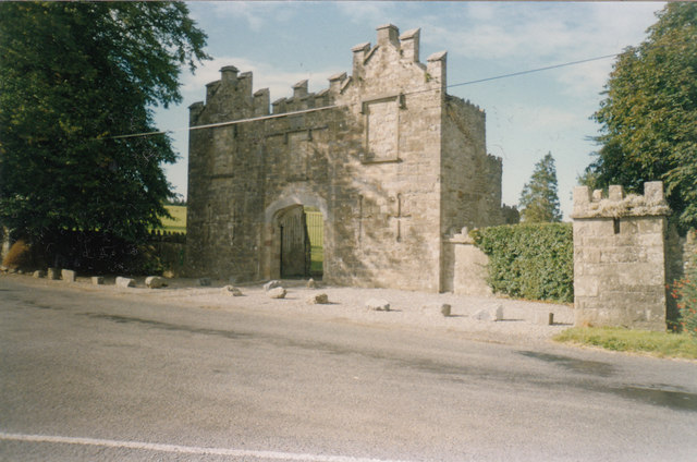 Kiltinan Castlegates/railings/walls · 935 yd
 Killusty CastleCastle · 1.5 mi
 Persian WalnutPersian Walnut · 1.6 mi
 Site of Carrigeen CastleCastle, unclassified · 1.6 mi
 CarrickbrockMountain / peak · 2.0 mi
 Pedunculate OakPedunculate Oak · 2.1 mi
 CarrigdotiaMountain / peak · 2.2 mi
 East GateMemorial · 3.5 mi
 RetrospectMemorial · 5.3 mi
Other information
Photo: Credit not shown in the picture search · Rights wording not checked; contact us if this picture should be removed