
What is recorded here
The official Northern Ireland record identifies this as ENCLOSURE. Recorded period: UNCERTAIN. The official map point was placed at the centre of the recorded archaeological site from the source map reference.
The monument record does not grant public access. Check the route and ask the landowner before entering private land.
- What survives
- Recorded monument
Places near here
 ENCLOSURE & Man-made underground passage (unlocated)ENCLOSURE & Man-made underground passage (unlocated), Duplicate of Ant 045:090? · 1.1 mi
 ENCLOSURE? in LegaloyENCLOSURE? · 1.4 mi
 RUINED STRUCTURERUINED STRUCTURE, CHURCH? · 2.3 mi
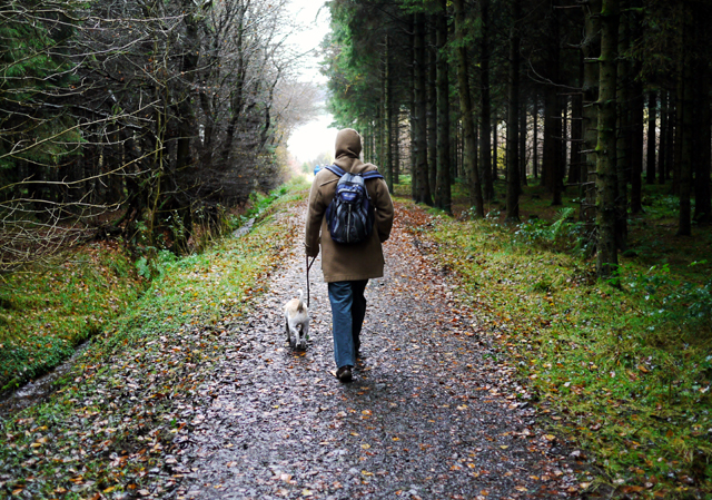 Woodburn ForestForest · 2.4 mi
_-_geograph.org.uk_-_5247773.jpg?width=1280) Ulster BankBank · 2.4 mi
Ulster BankBank · 2.4 mi North Carn ForestForest · 2.5 mi
 O'Haughan's CaveCave · 3.4 mi
 FORTIFIED HOUSE: CASTLE HILL in DunamoyFORTIFIED HOUSE: CASTLE HILL · 4.1 mi
 Sentry Hill Historic HouseMuseum · 4.4 mi
 Carnmoney HillMountain / peak · 4.7 mi
 TOWER-HOUSE: CASTLE LUG or CLOGH-NA-LARTY in West DivisionTOWER-HOUSE: CASTLE LUG or CLOGH-NA-LARTY · 4.8 mi
 Millennium MilepostVisitor information · 5.2 mi
Other information
Photo: Credit not shown in the picture search · Rights wording not checked; contact us if this picture should be removed