What is recorded here
Rob's Cairn in Lisnalinchy, County Antrim, is an uncertain Bronze Age site where a boundary marker or burial mound may still hide beneath grass and memory. The question mark in its name admits that Rob himself may have been a legend before the stones were recorded. If he lived, he likely dropped rocks there to mark a field edge, a lost road or a death nobody wrote down. The cairn remains because someone chose to remember, even when the reason faded.
The official Northern Ireland record identifies this as CAIRN?: ROB'S CAIRN. Recorded period: BRONZE AGE; UNCERTAIN. The official map point was placed at the centre of the recorded archaeological site from the source map reference.
Bronze Age cairn; its significance lies in contributing to the understanding of burial and ritual practices in early Irish society.
The monument record does not grant public access. Check the route and ask the landowner before entering private land.
- What survives
- Recorded monument
Places near here
 RECTANGULAR ENCLOSURE & EARTHWORKS in BallyearlRECTANGULAR ENCLOSURE & EARTHWORKS · 1.3 mi
 A.P. SITEA.P. SITE, circular enclosure · 1.4 mi
 RUINED STRUCTURERUINED STRUCTURE, CHURCH? · 1.4 mi
_-_geograph.org.uk_-_5247773.jpg?width=1280) Ulster BankBank · 2.3 mi
Ulster BankBank · 2.3 mi Sentry Hill Historic HouseMuseum · 2.8 mi
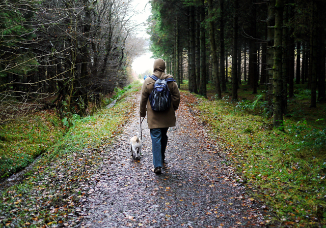 Woodburn ForestForest · 3.2 mi
 Carnmoney HillMountain / peak · 3.4 mi
 O'Haughan's CaveCave · 3.5 mi
 North Carn ForestForest · 3.8 mi
 FORTIFIED HOUSE & EARTHWORK DEFENCES (unlocated) in Grange OF MalluskFORTIFIED HOUSE & EARTHWORK DEFENCES (unlocated) · 4.2 mi
 CASTLE (unlocated) in BallyvastonCASTLE (unlocated) · 4.4 mi
 Bellevue Area of Special Scientific InterestCliff · 4.6 mi