
What is recorded here
Cave attributed to Naoise O'Haughan, 18th Century highwayman (approximate location). Access currently very difficult.
O'Haughan's Cave is likely a limestone karst formation, typical of cave systems developed through the dissolution of soluble rock. Locally attributed to the 18th-century Irish highwayman Naoise O'Haughan, it has become a site of regional folklore associated with outlaws and rural resistance.
Places near here
 Knockagh MonumentMonument · 129 yd
_-_geograph.org.uk_-_652849.jpg?width=1280) The County Antrim War MemorialMemorial · 130 yd
The County Antrim War MemorialMemorial · 130 yd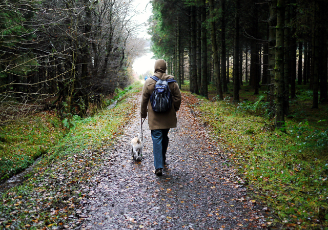 Woodburn ForestForest · 1.5 mi
 TOWER-HOUSE: CASTLE LUG or CLOGH-NA-LARTY in West DivisionTOWER-HOUSE: CASTLE LUG or CLOGH-NA-LARTY · 1.6 mi
 ENCLOSURE in JordanstownENCLOSURE · 1.7 mi
_church,_Jordanstown_(1)_-_geograph.org.uk_-_2578953.jpg?width=1280) Church of St PatrickChurch · 1.8 mi
Church of St PatrickChurch · 1.8 mi North Carn ForestForest · 2.7 mi
 Siege of Carrickfergussiege · 2.8 mi
 MEDIEVAL PARISH CHURCH, POST-MED. & MODERN CHURCH & GRAVEYARD: ST NICHOLAS' CHURCH, ST NICHOLAS OF CRAGFERGUS in CarrickfergusMEDIEVAL PARISH CHURCH, POST-MED. & MODERN CHURCH & GRAVEYARD: ST NICHOLAS' CHURCH, ST NICHOLAS OF CRAGFERGUS · 2.8 mi
 US RangersMemorial · 2.8 mi
 Battle of Carrickfergus (1760)Major battlefield · 2.8 mi
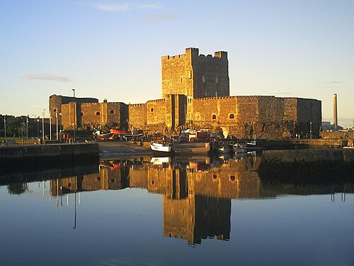 Carrickfergus CastleCastle · 2.8 mi
Other information
Photo: Credit not shown in the picture search · Rights wording not checked; contact us if this picture should be removed