What is recorded here
Situated on low-lying, undulating, poorly-drained pasture, immediately E of a tributary of the Groody River. Not marked on the OS 1924 OS 6-inch map but identified on an aerial photograph (OS 5, 2920, 7516) as a cropmark of a possible archaeological feature (SMR). The feature was not evident on the ground when the site was inspected.
Compiled by: Denis Power
Date of upload: 13 June 2013
The monument record does not grant public access. Check the route and ask the landowner before entering private land.
- What survives
- Recorded monument
Places near here
 Tooreen Castle (in ruins)Castle, tower house · 892 yd
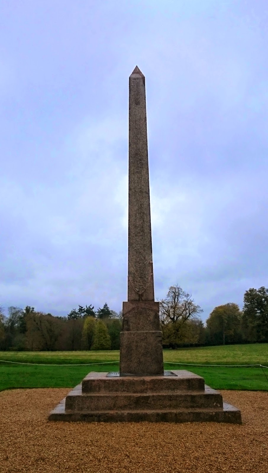 ObeliskCairn, unclassified · 1090 yd
 BarrowBarrow, mound barrow · 1114 yd
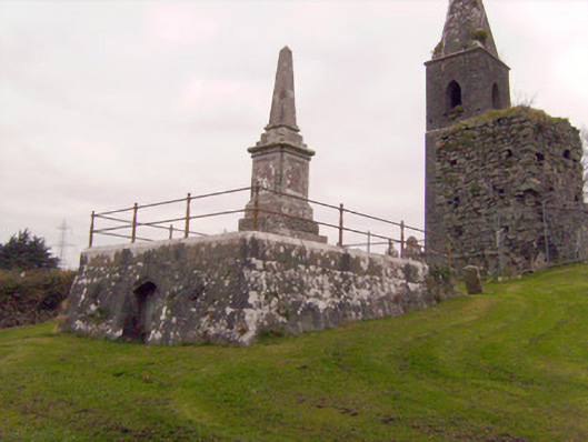 Cahernarry Churchmausoleum, obelisk · 1229 yd
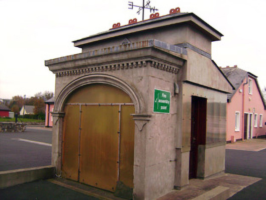 Drombanny Creamerycreamery · 1345 yd
 Castle (in ruins)Castle, tower house · 1.8 mi
 Campus MapVisitor information · 3.0 mi
 Visitor CentreVisitor information · 3.0 mi
 Fountain SculptureHeritage attraction · 3.1 mi
 Graveyard in AbingtonGraveyard · 5.7 mi
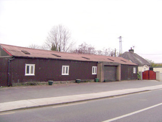 ballroom/dance hall/discoballroom/dance hall/disco · 1.0 mi
 Ballysimon WellHoly well · 1.1 mi