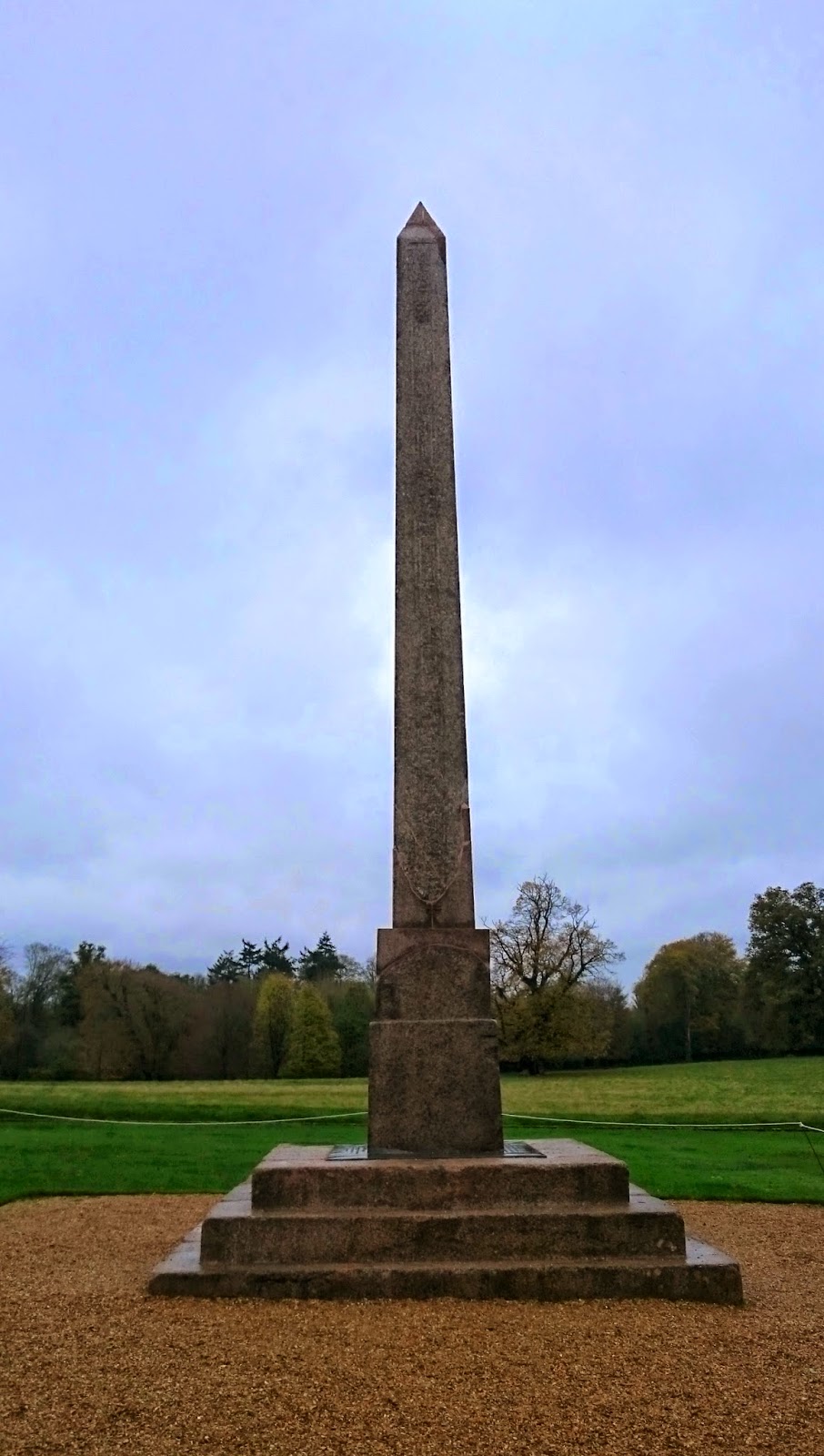
What is recorded here
Situated on a height in rolling pasture. Indicated on the 1924 OS 6-inch map as a hachured oval feature (c. 40m NW-SE by 30m NE-SW), with the word 'obelisk'. The area has been quarried out; there is no visible surface trace of the monument.
The monument record does not grant public access. Check the route and ask the landowner before entering private land.
- What survives
- Recorded monument
Places near here
 BarrowBarrow, mound barrow · 76 yd
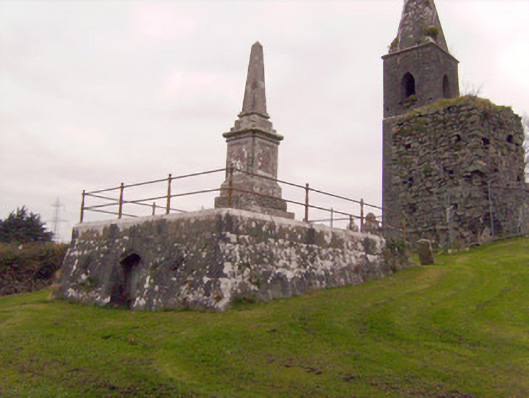 Cahernarry Churchmausoleum, obelisk · 183 yd
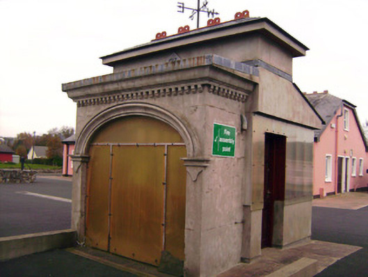 Drombanny Creamerycreamery · 1225 yd
 Tooreen Castle (in ruins)Castle, tower house · 1468 yd
 IndicatedBarrow, unclassified · 1.0 mi
 Ballyneety Castle (Site of)Castle, unclassified · 1.4 mi
 Wych ElmWych Elm · 2.5 mi
 Campus MapVisitor information · 3.6 mi
 Visitor CentreVisitor information · 3.6 mi
 Fountain SculptureHeritage attraction · 3.7 mi
 Graveyard in AbingtonGraveyard · 5.8 mi
 Carrigparson Househouse · 1590 yd
Other information
Photo: Credit not shown in the picture search · Rights wording not checked; contact us if this picture should be removed