
What is recorded here
In rolling pasture immediately E of a field boundary. Present remains consist of a raised sub-circular shaped mound (dims. 11.6m N-S X 5.3m E-W; H 0.8m) with a gentle slope to N, S and E froming a platform in the centre. Limestone outcropping throughout. Earthwork is not visible on Google Earth orthoimage taken 19/11/2019.
Compiled by: Martin Fitzpatrick
Date upload: 29 June 2020
A Neolithic mound barrow; significant as a rare surviving example of early funerary monument in the region.
The monument record does not grant public access. Check the route and ask the landowner before entering private land.
- What survives
- Recorded monument
Places near here
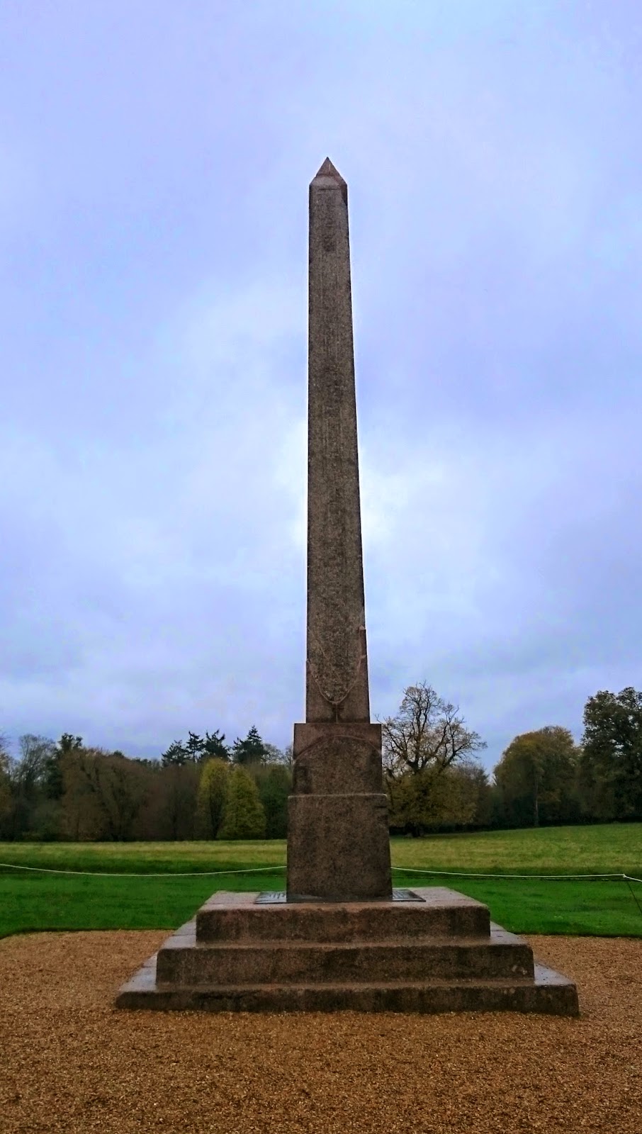 ObeliskCairn, unclassified · 76 yd
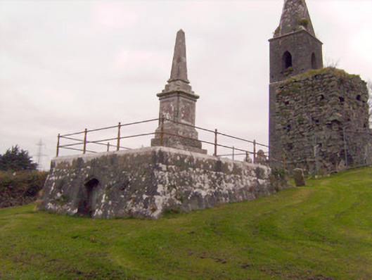 Cahernarry Churchmausoleum, obelisk · 228 yd
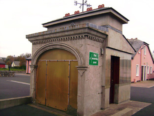 Drombanny Creamerycreamery · 1301 yd
 Tooreen Castle (in ruins)Castle, tower house · 1443 yd
 IndicatedBarrow, unclassified · 1719 yd
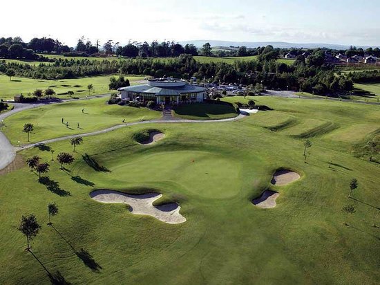 Ballyneety Castle (Site of)Castle, unclassified · 1.4 mi
 Wych ElmWych Elm · 2.4 mi
 Campus MapVisitor information · 3.6 mi
 Visitor CentreVisitor information · 3.6 mi
 Fountain SculptureHeritage attraction · 3.7 mi
 Graveyard in AbingtonGraveyard · 5.7 mi
 Carrigparson Househouse · 1515 yd
Other information
Photo: Credit not shown in the picture search · Rights wording not checked; contact us if this picture should be removed