
What is recorded here
In rough poorly drained pasture. Indicated on the 1840 OS 6 inch map as a small circular shaped area (approx. ext. diam. 24m E-W) intersected at S by a field boundary running E-W. Not marked on the OS 25 inch map, where the field boundary to W curves following the outline of the monument. Monument barely visible on Google Earth orthoimage taken 2019 which shows the site partially overgrown with trees.
See attached Google Earth othoimage taken 19/11/2019
Compiled by: Fiona Rooney
Date of upload: 7 July 2020
A local ancient tomb; wider significance not recorded.
The monument record does not grant public access. Check the route and ask the landowner before entering private land.
- What survives
- Recorded monument
Places near here
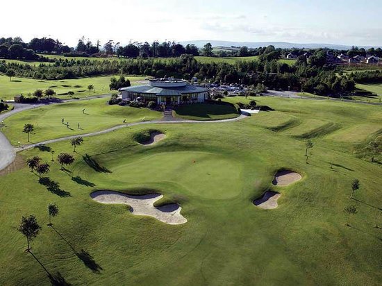 Ballyneety Castle (Site of)Castle, unclassified · 772 yd
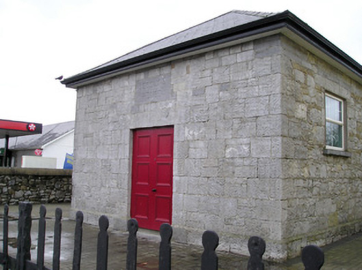 Ballyneety Courthousecourt house · 1249 yd
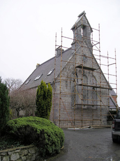 Cahernarry Churchchurch/chapel · 1338 yd
 BarrowBarrow, mound barrow · 1719 yd
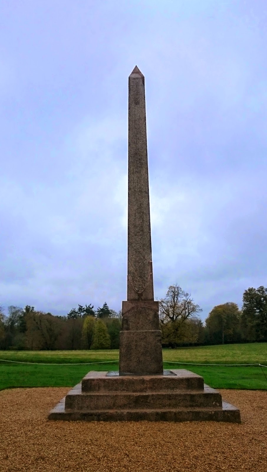 ObeliskCairn, unclassified · 1.0 mi
 Wych ElmWych Elm · 1.6 mi
 Tooreen Castle (in ruins)Castle, tower house · 1.6 mi
 St Lawrence's WellSpring · 2.2 mi
 ToberauillinSpring · 2.2 mi
 Campus MapVisitor information · 4.6 mi
 Visitor CentreVisitor information · 4.6 mi
 Fountain SculptureHeritage attraction · 4.7 mi
Other information
Photo: Credit not shown in the picture search · Rights wording not checked; contact us if this picture should be removed