What is recorded here
Earthwork described in 1943 as following; 'None of this monument now remains. Its site is marked only by a circle of differently coloured vegetation to that of the surroundings. This circle presumably marks the fosse of the monument. From a description supplied by a man who had seen the structure, it seems to have been a platform of Type A. Its overall diameter is 120' [37m]. It is situated in low-land marsh' (O'Kelly 1942-3, 182). The outline of the monument is not visible today on Digital Globe aerial photographs.
Compiled by: Caimin O'Brien
Date of upload: 27 February 2020
The monument record does not grant public access. Check the route and ask the landowner before entering private land.
- What survives
- Recorded monument
Places near here
 BarrowBarrow, ring-barrow · 371 yd
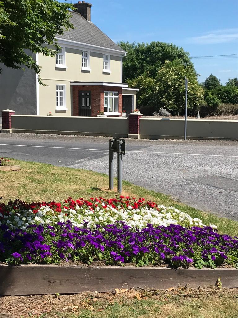 Enclosure in Caherelly WestEnclosure · 477 yd
 OultinedBawn · 732 yd
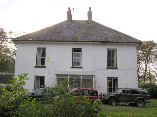 Caherelly Castlecountry house · 1058 yd
 Caherelly Cottagehouse · 1102 yd
 Black Castle (Site of)Castle, unclassified · 1.0 mi
 The SpectaclesVisitor information · 1.1 mi
 Lough Gur Heritage CentreVisitor information · 1.1 mi
 Pedunculate OakPedunculate Oak · 1.3 mi
 Grange Stone CircleArchaeological place · 2.2 mi
 Lough GurVisitor information · 2.2 mi
 Banoge's WellSpring · 2.2 mi