
What is recorded here
Located in the floodplain on the W bank of the river Corrib in an area of very rough wet grassland and low overgrowth. This possible enclosure appears as a cropmark on Google Earth aerial imagery taken in 2012 (Google 2018). It is roughly subrectangular in plan (c. 37m NNE-SSW; c. 32m WNW-ESE) and is defined by a darker band of vegetation. A NW-SE running drain curves around it from E to N and then continues northwards to the lake. Not visible at ground level. Another cropmark enclosure (GA082-108----) lies c. 225m to the SE.
The following image has been uploaded: GA082-104----.pdf
Compiled by: Olive Alcock
Date of upload: 27 May 2019
A local fairy fort (ringfort/rath); wider significance not recorded.
The monument record does not grant public access. Check the route and ask the landowner before entering private land.
- What survives
- Recorded monument
Places near here
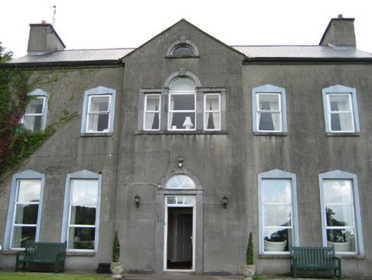 Bushypark Housecountry house · 764 yd
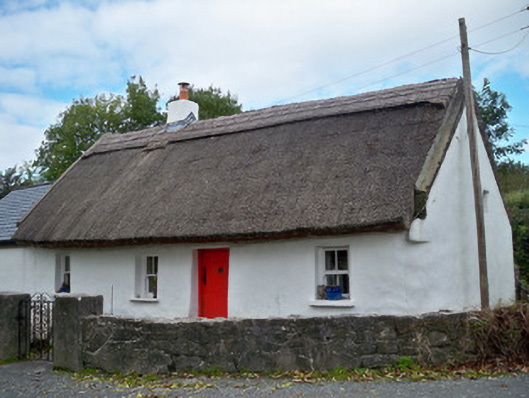 The Thatchhouse · 832 yd
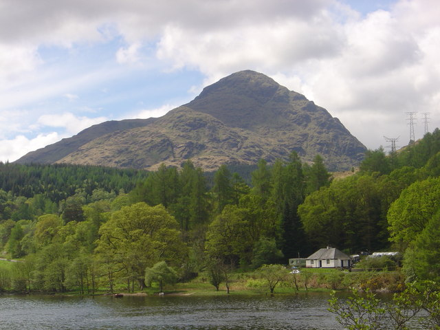 An ChroisArchaeological place · 870 yd
 Menlo Castle Entrance ArchRuins · 926 yd
 Menlo CastleCastle · 1014 yd
 IndicatedFairy fort / ringfort · 1462 yd
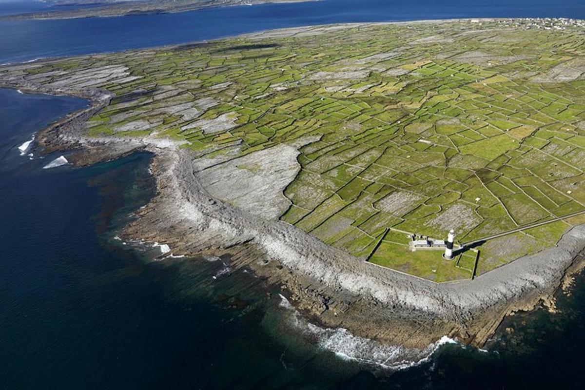 Jordan's IslandIslet · 1.4 mi
 Yew Tree MazeHeritage attraction · 1.6 mi
 University of Galway GalleryGallery · 1.9 mi
 GinkgoGinkgo · 1.9 mi
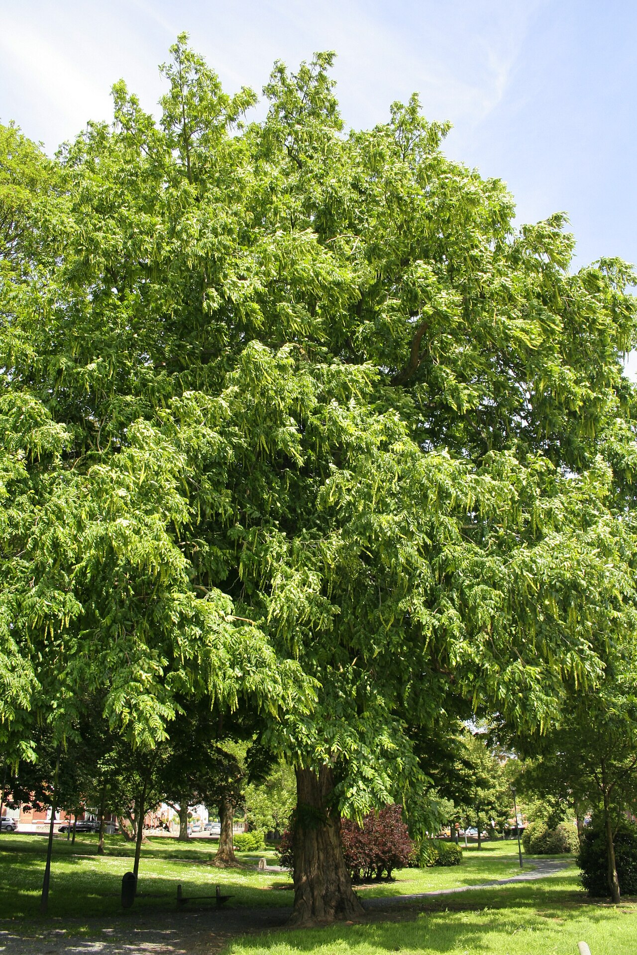 Caucasian WingnutCaucasian Wingnut · 1.9 mi
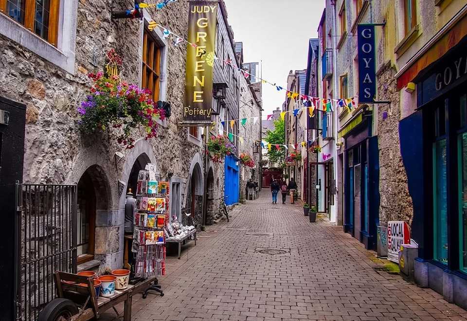 Galway GaolMemorial · 2.2 mi
Other information
Photo: Credit not shown in the picture search · Rights wording not checked; contact us if this picture should be removed