What is recorded here
Partially excavated in advance of construction of the N9/N10 Kilcullen-Waterford Road (Excavation Licence number E2580). Circular enclosure (diam. 32m) with entrance (c 7m) on NW side and internal structure. East half lay outside road take and geophysical survey of this showed evidence for a possible second entrance at SE side.
A pit which contained quantities of Neolithic pottery was located 10.5m to the SW of the enclosure and was probably associated with the Neolithic structure located to the S. (O' Neill N, 2009)
Reference:
O' Neill N. 2009 N9/N10 Kilcullen to Waterford Scheme: Kilcullen to Powerstown. Archaeological Services Contract No. 4 - Resolution, Prumpelstown to Powerstown. Final Report on archaeological investigations, NMSR Number E2580, in the townland of Busherstown, Co. Carlow. Unpublished report, Headland Archaeology (Ireland) Ltd., Cork
Compiled by: Claire Breen
Date of upload: 10 November 2010
The monument record does not grant public access. Check the route and ask the landowner before entering private land.
- What survives
- Recorded monument
Places near here
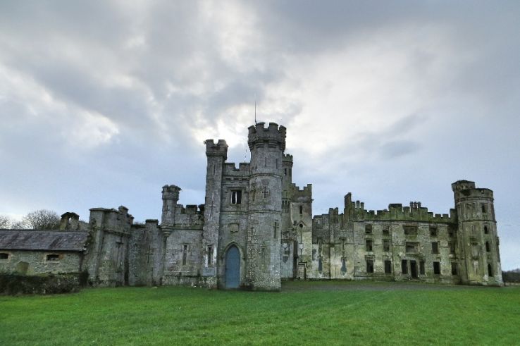 Enclosure in BusherstownEnclosure · 151 yd
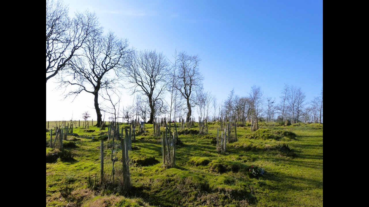 Burial GroundChurch · 229 yd
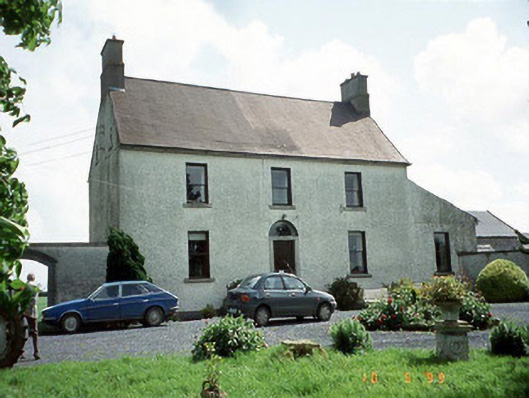 Busherstown Housefarm house · 258 yd
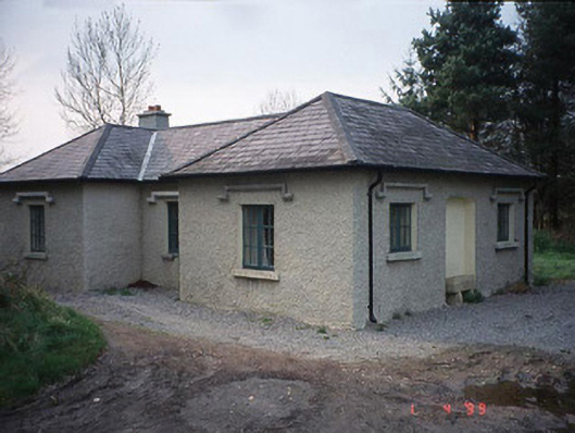 Johnstown Housegate lodge · 1048 yd
 Graigue Castle in ruinsCastle, unclassified · 1300 yd
 Site of CastleCastle, unclassified · 1456 yd
 Brownshill Portal TombVisitor information · 1.4 mi
 Cork oakCork oak · 2.4 mi
 European YewEuropean Yew · 2.4 mi
 Carlow County MuseumMuseum · 3.4 mi
 Kilmurry Church (in ruins), GraveyardChurch · 3.6 mi
 Church (in ruins), GraveyardChurch · 4.7 mi