What is recorded here
Situated on reclaimed grassland with Riverstown River 230m to E. Area depicted as poorly drained land on 1838 ed. OS 6-inch map. Aerial photograph taken by Leo Swan (LS_AS_35BWN_00042_16) shows clear outline of circular-shaped enclosure intersected by a field boundary or drainage ditch at SE. Faint outline of enclosure visible on Digital Globe aerial photograph. Drainage ditch or watercourse which feeds into Riverstown River intersects site at E.
Compiled by: Caimin O'Brien based on details kindly provided by Katherine Daly
Date of upload: 27 November 2018
The monument record does not grant public access. Check the route and ask the landowner before entering private land.
- What survives
- Recorded monument
Places near here
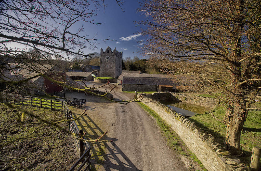 CastleCastle, unclassified · 641 yd
 bridgebridge · 867 yd
 Wardenstown Housecountry house · 942 yd
 IndicatedFairy fort / earthen ringfort · 1.0 mi
 Enclosure in AnnaskinnanEnclosure · 1.5 mi
 Rathwire Moat & CastleCastle, motte and bailey · 2.1 mi
 ScregganWood · 3.8 mi
 Abandoned Kinnegad CanalWood · 4.5 mi
 Croppies' GraveMemorial · 6.1 mi
 Grange Beg Housedovecote/pigeon house/aviary · 1173 yd
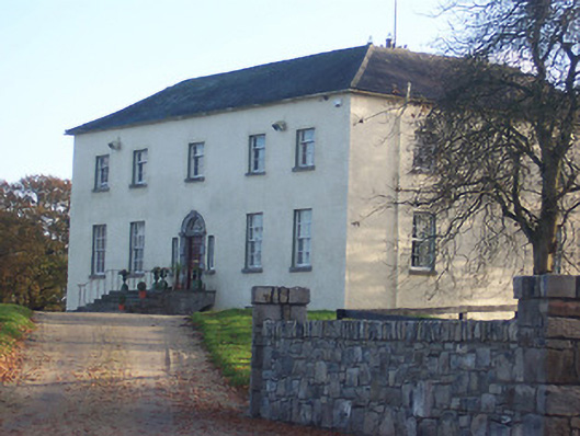 Hyde Parkcountry house · 1330 yd
 D'Arcy's Bridgebridge · 1491 yd