
What is recorded here
From the National Monuments Service (Archaeological Survey of Ireland) record WM027-075
Places near here
Photo credits
- National Inventory of Architectural Heritage
- Maker not stated on source page, www.alamy.com
- Royalcanalrunner, Wikimedia Commons · CC BY-SA 4.0
- Maker not stated on source page, www.britainexpress.com
- Maker not stated on source page, commons.wikimedia.org
 bridge867 yd
Explorer Tom Bridge in Ballagh brags about surviving a storm so big it scared the horses off the road. It’s just a single arch doing…
 Wardenstown HouseCountry house · 942 yd
Explorer Tom Wardenstown House in Wardenstown nearly made the celebrity circuit before losing a floor to a fire. Now it stands there…
 Grange Beg HouseDovecote/pigeon house/aviary · 1173 yd
Explorer Tom Grange Beg House is basically a fancy pigeon apartment block where the tenants probably pay rent in eggs and complain…
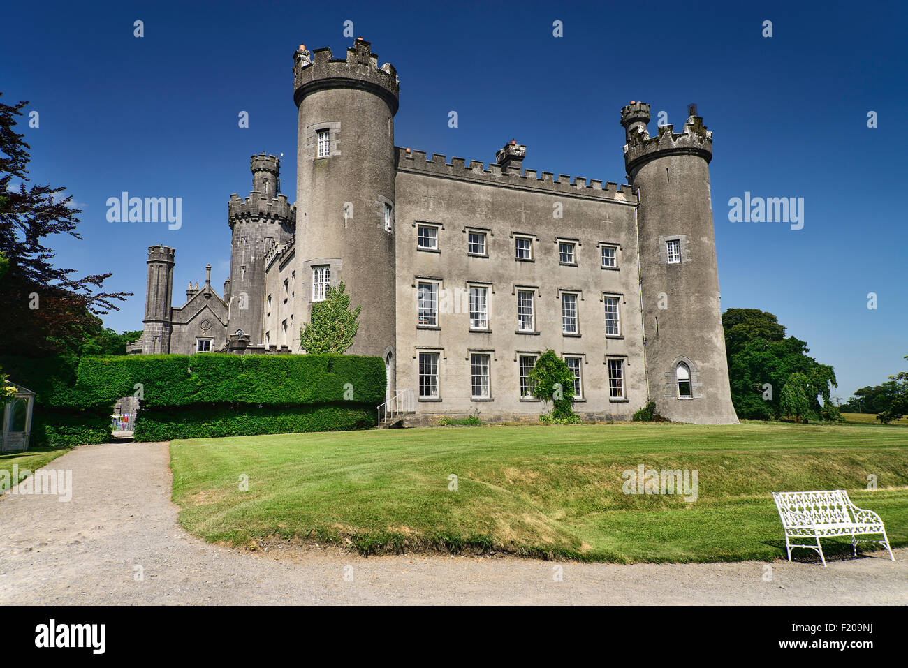 CastleCastle, tower house · 1178 yd
Explorer Tom Grange Beg Castle Tower House gave up its stones for Lent and has been skinny ever since. It stands next to a dovecote…
 Hyde ParkDemesne walls/gates/railings · 1231 yd
Explorer Tom Hyde Park’s gates are sick of being asked if they lead to London, so I’d suggest you stop bothering them with that…
 D'Arcy's BridgeBridge · 1491 yd
Explorer Tom D'Arcy's Bridge has a secret talent: it can hold its breath underwater better than any of us combined. It’s all about…
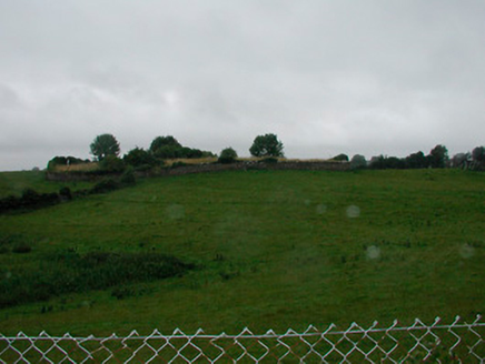 graveyard/cemetery1.2 mi
Explorer Tom Graveyard in Grange Beg has a smuggling story where someone hid a crate of contraband whiskey behind a headstone and…
 Earthwork in AnnaskinnanEarthwork · 1.3 mi
Explorer Tom Earthwork in Annaskinnan has filed forty complaints with the council about being levelled by modern machinery and…
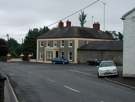 Riverview HouseHouse · 1.3 mi
Explorer Tom Riverview House in Cloghanstown looks like it was built by someone who really loved their tea and wanted the house to…
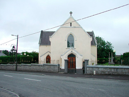 Saint Brigid's Catholic ChurchChurch/chapel · 1.3 mi
Explorer Tom Saint Brigid's Catholic Church has a name that sounds like a bad hairdo, but it’s actually a 1834 classic T-plan…
 harbour/dock/port1.3 mi
Explorer Tom Harbour in Annaskinnan still echoes with a fiddler who never finished his tune. He's been playing the same three notes…
 Earthwork in RiverdaleEarthwork · 1.6 mi
Explorer Tom Earthwork in Riverdale is just a bump that thinks it’s way more impressive than the road leading up to it. It probably…
More archaeology and monuments in County Westmeath · All of County Westmeath

What do you know about this place?Tap to add a comment or ask a question